What is recorded here
In pasture, located on top of a ridge, with a fall of ground to E and S providing excellent views over a broad sweep of rolling grassland. Views are less extensive to NW along the top of the ridge.
Broadly oval area (42.7m E–W; 47m N–S) defined SE–ENE by a scarp (Wth slope 2.7m ; H 1.6m), which retains a low internal lip in parts, and enclosed by an external fosse (Wth c. 3m) which is visible as a shallow depression. There is no clearly defined entrance, but it may have been on the E side where the scarp has been levelled to a broad slump merging with the natural slope. There are also low breaks in the scarp at W (2.7m) and N (Wth c. 3m), which are poorly defined and eroded by cattle.
The interior is level and exhibits very faint traces of cultivation ridges on an WNW–ESE axis.
Compiled by: Jane O’Shaughnessy
Date of upload: 7 February 2022
The monument record does not grant public access. Check the route and ask the landowner before entering private land.
- What survives
- Recorded monument
Places near here
 CastleCastle, ringwork · 1483 yd
 Enclosure in BreesEnclosure · 1.1 mi
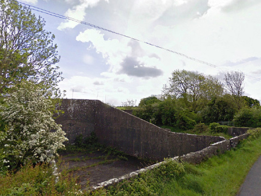 handball alleyhandball alley · 1.3 mi
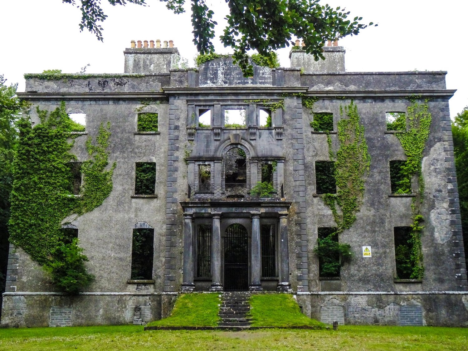 Enclosure in An Goirtín MórEnclosure · 1.8 mi
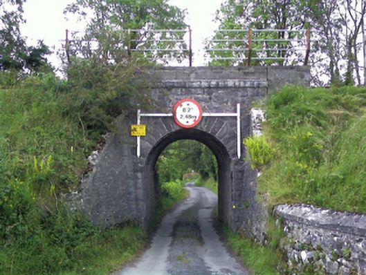 bridgebridge · 1.8 mi
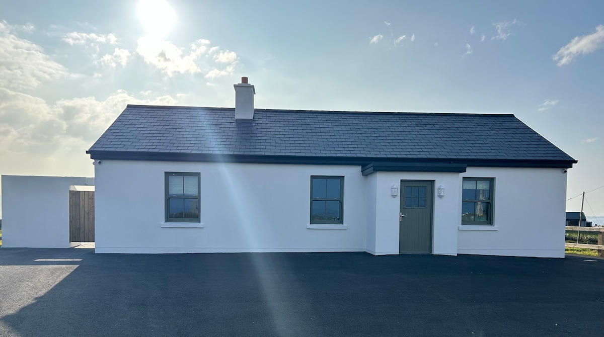 Bawn in KnockaunakillBawn · 2.2 mi
 Carrowbeg WoodWood · 3.4 mi
 I'll Send You The FareMemorial · 5.2 mi
 Kiltimagh MuseumMuseum · 5.3 mi
 Land of the GiantsHeritage attraction · 6.0 mi
 Geoffrey's WoodForest · 7.9 mi
 Cow IslandIslet · 10 mi