What is recorded here
In pasture adjacent to a farmyard, on a SE-facing slope. This rath is indicated as a roughly circular enclosure (diam. c. 50m) with trees around its perimeter on the 1846 OS 6-inch map. It is indicated as a circular enclosure (diam. c. 45m) on the 1939 OS 6-inch map. The interior is now defined by an earthen bank (Wth 7.6m; int. H 0.2m; ext. H 1.6m) NW-N and by a scarp E-NW. The NE sector is truncated by a NW-SE farm trackway and is occupied by farm buildings. The bank is disturbed by cattle and tree roots NW-N. The interior slopes down to the SE; the ground surface is uneven due to grassed-over dumped material. A modern brick-built shed is immediately inside the bank at N. A N-S field boundary extends from the bank along the S arc. Farm building occur outside the base of the scarp at SE. There is a Man-made underground passage (KE066-007001-) in the SE quadrant.
Compiled by: Elizabeth Byrne, Ursula Egan and Sheila Ronan, Archaeological Survey Unit, University College, Cork.
Date of upload: 31 January 2011
The monument record does not grant public access. Check the route and ask the landowner before entering private land.
- What survives
- Recorded monument
Places near here
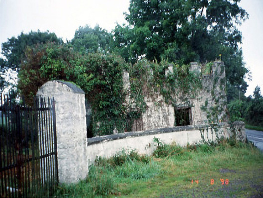 Grenagh Housegate lodge · 396 yd
 Grenagh Ho.Country house · 841 yd
 CastleCastle, tower house · 963 yd
 Castle (in Ruins)Castle, tower house · 1284 yd
 IndicatedFairy fort / earthen ringfort · 1312 yd
 European YewEuropean Yew · 1374 yd
 Japanese pagoda treeJapanese pagoda tree · 1382 yd
 Man-made underground passage in BeaufortMan-made underground passage · 1461 yd
 Dunloe Ogham StonesHeritage attraction · 1.0 mi
 Rabbit or Brown IslandIslet · 2.5 mi
 Aghadoe Early Medieval Ecclesiastical SiteHeritage attraction · 2.7 mi
 O'Sullivan's CascadeWaterfall · 2.8 mi