What is recorded here
In pasture, on a S-facing slope. Sub-circular area (dims. 44m NNW-SSE; 46m ENE-WSW) defined by earthen bank (int. H 0.45m; ext. H 0.95m; Wth 3.65m) NNE-E which is truncated by field boundary E-S-SW and defined by bank (int. H 0.95m; ext. H 0.7m; Wth 3.2m) SW-NNE. Irregularity where there is a kink in bank at NW. Short portion of intervening fosse (basal Wth 1m; overall Wth 4.2m; D 0.4m) and outer bank (int. H 0.75m; ext. H 0.3m; Wth 3.75m) NNE-E. Interior slopes down relatively sharply to S; remains of rectangular building (TS071-040001-) within. Various large rocks and boulders within and around monument. Trackway flanks exterior of monument SW-NW. Enclosure (TS071-014----) located 320m to WSW. Enclosure visible on aerial photograph (GSI S.648/7, 16.04.1974).
Compiled by: Jean Farrelly
Date of upload: 26 August 2011
The monument record does not grant public access. Check the route and ask the landowner before entering private land.
- What survives
- Recorded monument
Places near here
 Grangemockler Church (in ruins)Church · 810 yd
 The SpoutMemorial · 958 yd
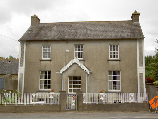 Grey Gableshouse · 997 yd
 St. Nicholas WellHoly well · 1.7 mi
 Bullaun stone in KillameryBullaun stone · 1.7 mi
 Killamery High CrossVisitor information · 1.7 mi
 KillameryVisitor information · 1.8 mi
 Castle (in ruins)Castle, unclassified · 2.1 mi
 Castle JohnCastle, tower house · 2.8 mi
 European ashEuropean ash · 2.8 mi
 Silver FirSilver Fir · 2.9 mi
 James (Jim) McKennaMemorial · 3.3 mi
Other information
Photo: Credit not shown in the picture search · Rights wording not checked; contact us if this picture should be removed