What is recorded here
Shown as a small circular mound on 1909 OS 6-inch map (max diam. c. 25m). Referred to by Meldon as an 'old tumulus' (JKAS 1891-1895, 96). No visible surface traces.
Test-trenching (04E1021) of new house in vicinity produced no archaeology. 'Excavations 2004' 2007, No. 824, p.197.
Date of upload: 8 September 2016
A Neolithic burial mound, likely dating to the Early to Middle Bronze Age, based on regional typology and historical references. Its significance lies in contributing to the understanding of prehistoric funerary practices in the area, though no visible remains or artifacts have been recorded.
The monument record does not grant public access. Check the route and ask the landowner before entering private land.
- What survives
- Recorded monument
Places near here
 .Site of St. Legers CastleCastle, unclassified · 184 yd
 Kilmorony House (ruins)Ruins · 526 yd
 Kilmorony Househouse · 528 yd
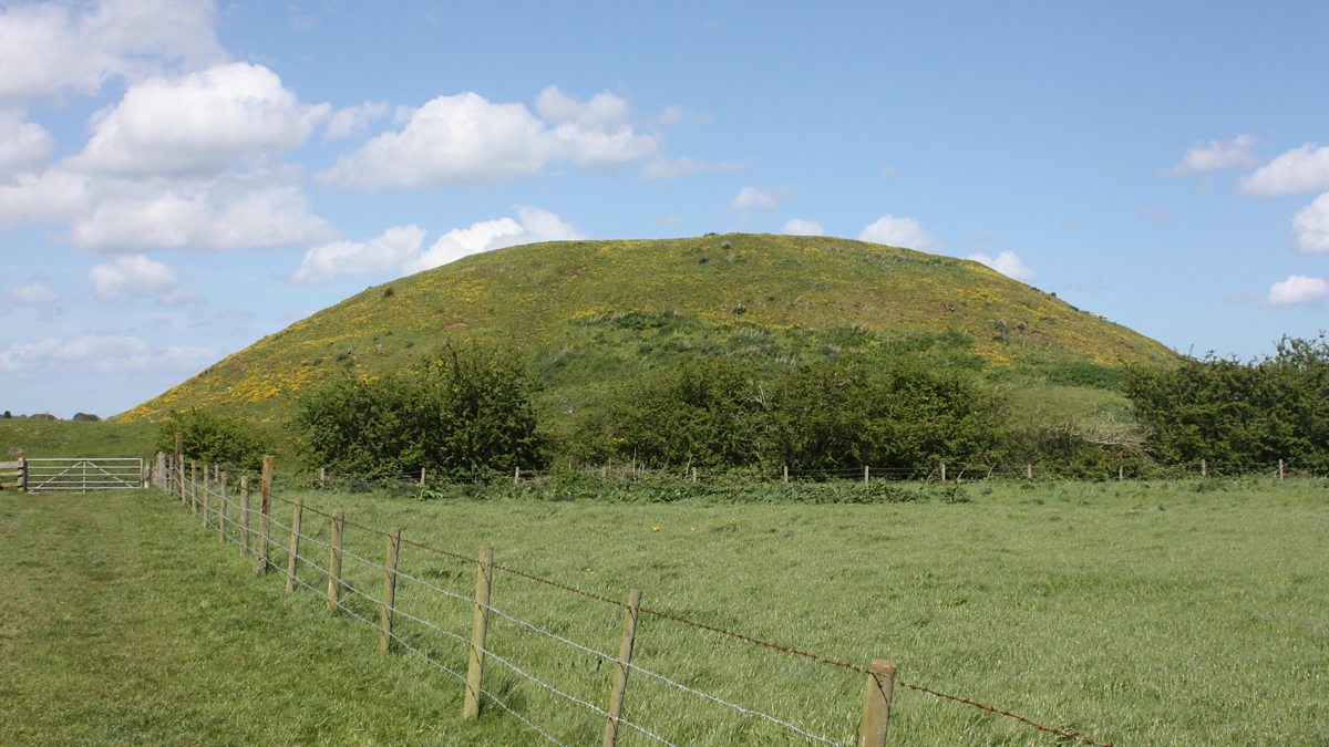 The MoundCastle, motte and bailey · 586 yd
 Enclosure in KilmoronyEnclosure · 982 yd
 EnclosureEnclosure, large enclosure · 1046 yd
 Dollardstown WoodForest · 1.6 mi
 Neil HannonMemorial · 2.0 mi
 Lorcán Ó TuathailMemorial · 3.6 mi
 Mullaghreelan WoodForest · 3.6 mi
 History of Moat of ArdscullVisitor information · 5.2 mi
 Cobbler's Castle WalkWalking route · 7.4 mi