What is recorded here
In generally flat topography. A square raised area (int. dims. 61m square; ext. dims. 74m square) defined by earthen bank (Wth 2-2.2m; int. H 0.3-0.5m; ext. H 2-c. 3m) with external fosse (Wth 2m; D 0.6m). The fosse has been largely infilled on the E, S and W sides, with a field boundary running along the N side. According to local information a flagged area was found during levelling of the interior. The monument appears to have been levelled since visited in 1989, as it is visible as a cropmark on satellite imagery (Google Earth satellite image, imagery date 17 June 2017) and is not visible on a more recent satellite image (Google Earth satellite image, imagery date 30 May 2023).
See attached:
KK030-011----_01 Sketch plan by Kieran Campbell, 11 May 1989
KK030-011----_02 Google Earth satellite image, imagery date 17 June 2017
KK030-011----_03 Google Earth satellite image, imagery date 30 May 2023
Compiled by: Jean Farrelly
Date of upload: 25 July 2023
The monument record does not grant public access. Check the route and ask the landowner before entering private land.
- What survives
- Recorded monument
Places near here
 KnocknashanogeEnclosure · 1145 yd
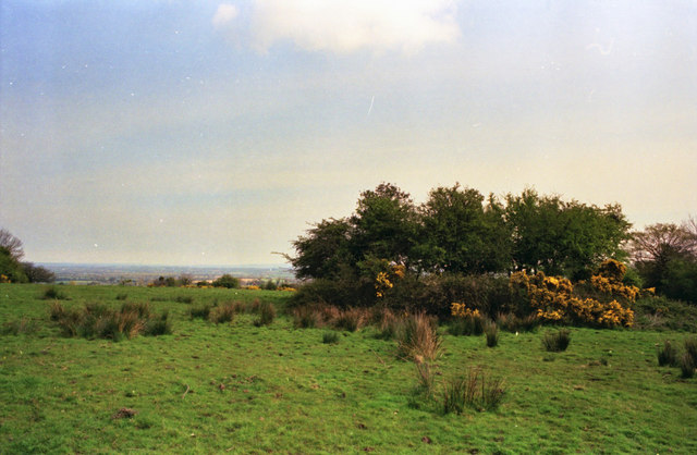 Fairy fort / ringfort in CoolaghflagsFairy fort / ringfort · 1.1 mi
 Church in KildrummyChurch · 1.2 mi
 Catholic Church of Our Ladychurch/chapel · 1.2 mi
 Coolaghmore National SchoolMemorial · 1.3 mi
 HawthornHawthorn · 1.4 mi
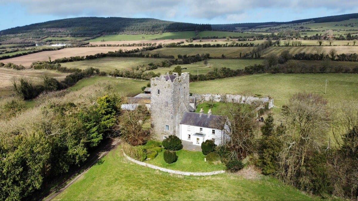 CastleCastle, tower house · 1.4 mi
 Currahill Castle (in ruins)Castle, tower house · 1.5 mi
 James (Jim) McKennaMemorial · 1.6 mi
 Collins PaddockForest · 1.9 mi
 KillameryVisitor information · 3.1 mi
 Killamery High CrossVisitor information · 3.1 mi