What is recorded here
Indicated is a stone ringfort in County Mayo, Ireland. Its name points somewhere but refuses to say where, like a finger stretched across dark water. The stones may have marked a boundary, a home or a warning, yet they still answer only to the shape of the local land.
The Archaeological Survey of Ireland (ASI) is in the process of providing information on all monuments on The Historic Environment Viewer (HEV). Currently the information for this record has not been uploaded. To access available information for research purposes please make an appointment in advance with the Archive Unit (open Fridays 10.00 am – 5.00 pm), Department of Housing, Local Government and Heritage, The Custom House, Dublin 1 D01W6XO or email NMarchive@housing.gov.ie.
The monument record does not grant public access. Check the route and ask the landowner before entering private land.
- What survives
- Recorded monument
Places near here
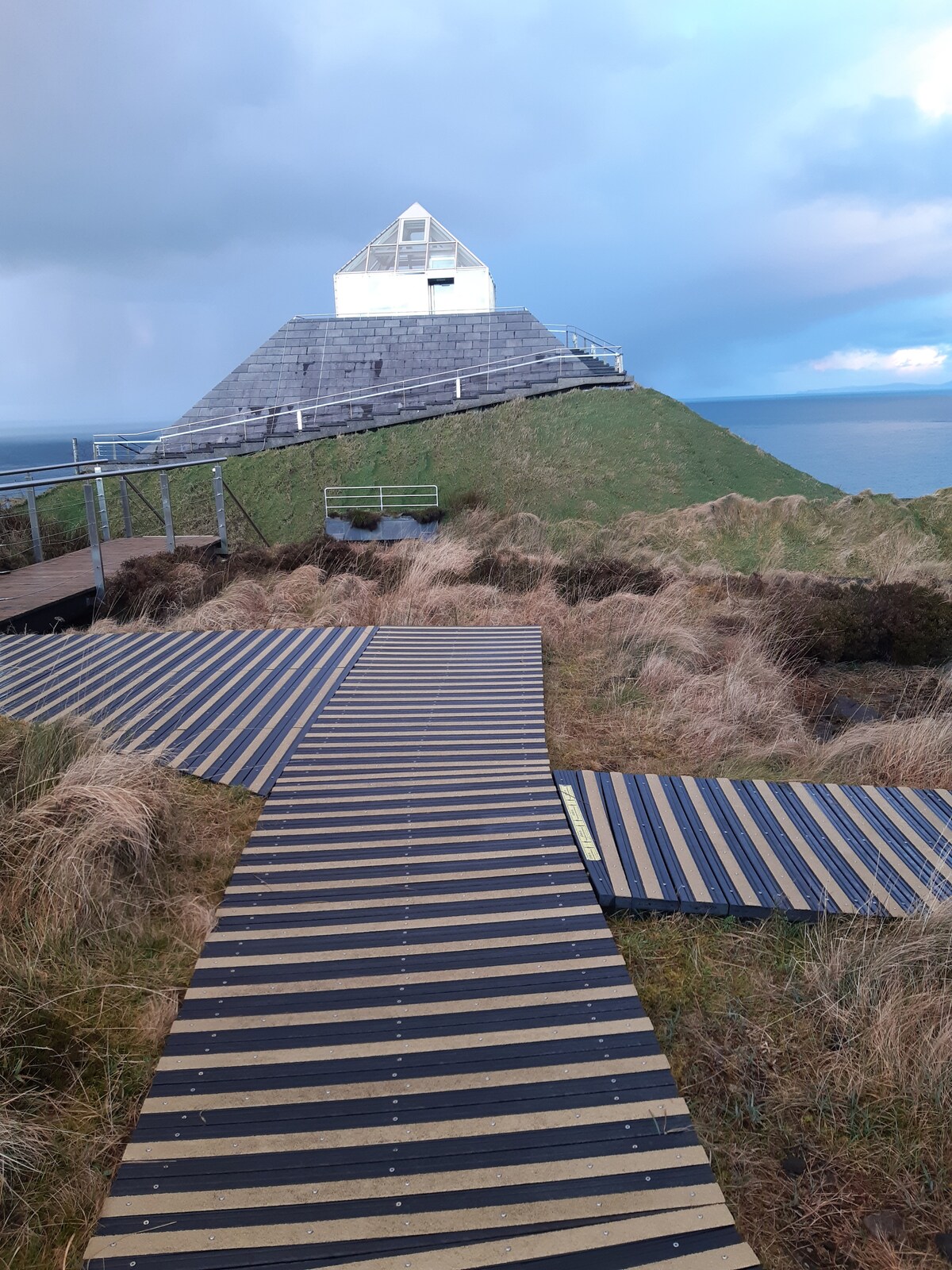 Enclosure in CuildooEnclosure · 1118 yd
 Killasser chapelChurch · 1384 yd
 Mass-rock in Graffy (gallen By., Killasser Par.)Mass-rock · 1441 yd
 Hennigan's Heritage CentreHeritage attraction · 1.2 mi
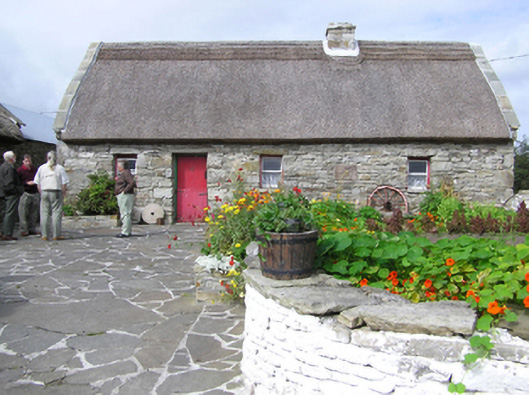 farm housefarm house · 1.2 mi
 Castle (in Ruins)Castle, unclassified · 1.3 mi
 HawthornHawthorn · 1.6 mi
 Youth Memorial GardenMemorial · 3.6 mi
 Bawn in ToomoreBawn · 3.8 mi
 Procession Of The SoulsMemorial · 3.8 mi
 Brabazon WoodsForest · 4.1 mi
 Foxford Woollen MillsHeritage attraction · 4.3 mi