What is recorded here
In low-lying pasture, in the grounds of Kerry Airport. This possible children's burial ground is indicated on the 1846 OS 6-inch map as a circular area (diam. c. 20m). A single tree indicates its location on the 1897 OS 6-inch map. Its levelled remains were described by O'Hare (1997, 12-13) as a roughly rectangular area (19.5m N-S; 11.5m E-W) defined by a low rise (int. H 0.1m; ext. H 0.2m) with hawthorn bushes growing immediately outside it at NE. A number of low stones, extending in a N-S line for c. 1.65m, were noted immediately inside the low rise at N (ibid.). O'Hare (1997, 12) was informed locally that this earthwork is believed to be a children's burial ground and that rows of stones which were visible in it in the past were assumed to be grave-markers.
Compiled by: Elizabeth Byrne, Ursula Egan and Sheila Ronan, Archaeological Survey Unit, University College, Cork.
Date of upload: 31 January 2011
The monument record does not grant public access. Check the route and ask the landowner before entering private land.
- What survives
- Recorded monument
Places near here
 Inchaboy Fort (Remains of)Enclosure · 700 yd
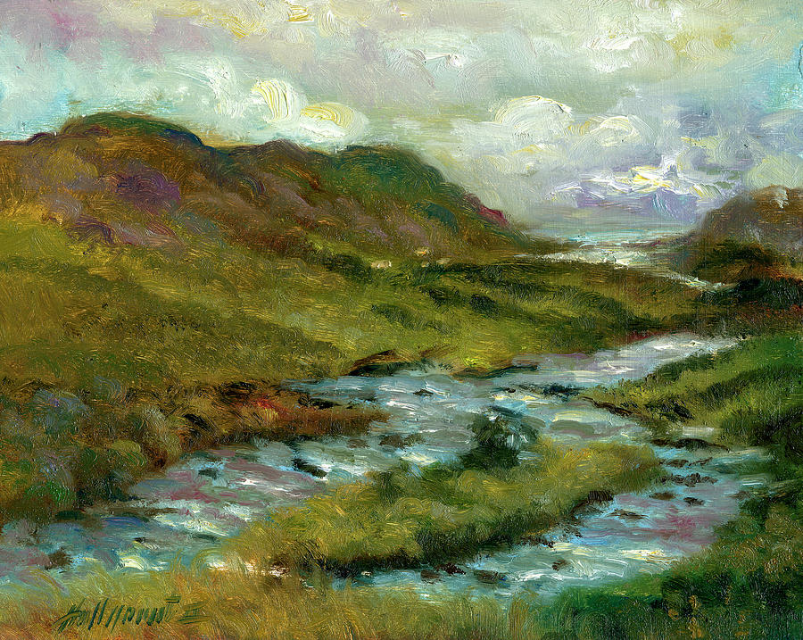 Gortshanavogh Br.Bridge · 827 yd
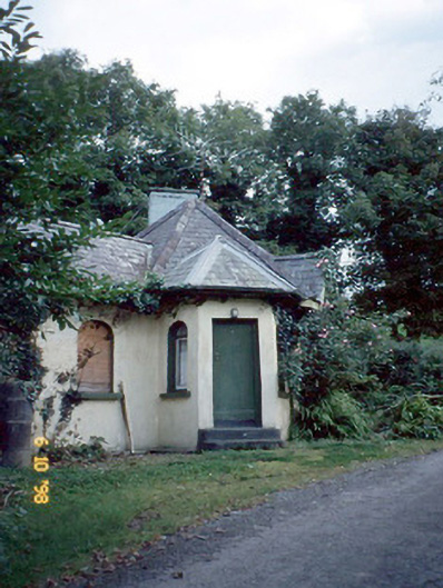 Dicksgrovegate lodge · 992 yd
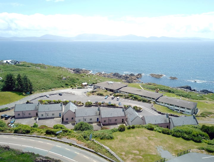 Enclosure in Dromroe (trughanacmy By.)Enclosure · 1290 yd
 Site of Currans CastleCastle, unclassified · 1.9 mi
 CastleCastle, motte · 2.6 mi
 Crag CaveCave · 5.6 mi
 Ballygamboon Forest Recreation AreaWood · 6.8 mi
 Aghadoe Early Medieval Ecclesiastical SiteHeritage attraction · 7.3 mi
 Famine MemorialMemorial · 7.9 mi
 GinkgoGinkgo · 8.1 mi
 Kerry 2nd Brigade of the Irish Republican ArmyMemorial · 8.2 mi