What is recorded here
In flat pastureland. Indicated as a small circular feature on the 1914 revision of the OS 6-inch map and named 'Well' OS 1:2500 plan (surveyed 1912-16), it consists of a watering hole.
Compiled by: Olive Alcock
Date of upload: 8 October 2014
The monument record does not grant public access. Check the route and ask the landowner before entering private land.
- What survives
- Recorded monument
Places near here
 Enclosure in BallycaseyEnclosure · 835 yd
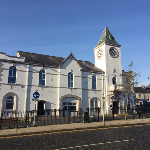 Man-made underground passage in BallycaseyMan-made underground passage · 1062 yd
 Kilcoona Round TowerHeritage attraction · 1.0 mi
 Donaghpatrick Church in ruinsChurch · 1.5 mi
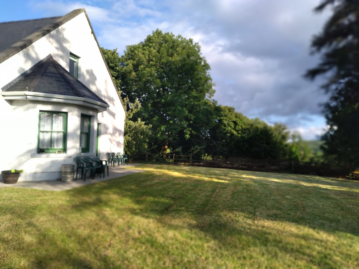 Country house in Barnaboy (headford By.)Country house · 1.8 mi
 Castle in ruinsCastle, tower house · 2.5 mi
 Site of CastleCastle, unclassified · 2.5 mi
 KnockmaaWood · 3.1 mi
 Ballinduff BayBay · 3.4 mi
 Walsh's IslandIslet · 4.4 mi
 Ross Errilly FriaryHeritage attraction · 4.5 mi
 Cúil DiarmuidWood · 5.0 mi