What is recorded here
Indicated is a fairy fort in County Mayo, an oval earthwork twenty-one metres long built into a natural rise above undulating pasture. Its sloping bank has worn low at the east, leaving a slumped gap that may have served as an entrance, while the interior remains slightly sunken like a shallow saucer. The site sits beside another rath a short distance northeast, suggesting the hill once hosted more than one dwelling or marker. People may have lived there, tended animals, or simply watched the horizon from its raised edge before the earth softened and the purpose faded.
In pasture, utilising the contours of a natural rise, with good views of the surrounding undulating terrain. Oval raised area (21m N–S; 17m E–W) defined by a levelled bank. The bank has been reduced to a broadly sloping scarp which merges more or less seamlessly with the natural slope of the rise. The scarp is lowest at E-SW (Wth slope c. 5m, H 0.65m at S), with a noticeably slumped area at E probably indicating the original entrance. The fall of ground is steeper at W–NW, with a disused laneway, flanked by overgrowth-covered field banks, skirting the base of the slope at W. At N the scarp (Wth slope c. 4m, H c. 1m) merges with the natural slope giving an overall drop of c. 2m. The scarp retains a broad low internal lip which gives the interior a somewhat sunken or saucer-shaped profile. Grass cover, with a thicket of overgrowth at W edge of the interior. There is another rath (MA048-050001-) c. 100m to NE.
Compiled by: Jane O'Shaughnessy
Date of upload: 18 February 2013
The monument record does not grant public access. Check the route and ask the landowner before entering private land.
- What survives
- Recorded monument
Places near here
 IndicatedFairy fort / earthen ringfort · 402 yd
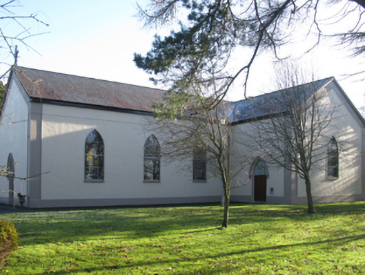 Catholic Church of Christ the Kingchurch/chapel · 812 yd
 Enclosure in Lissaniska WestEnclosure · 1002 yd
 Killeencormack Grave YardChurch · 1.2 mi
 Castle (in ruins)Castle, unclassified · 1.5 mi
 Drummin ForestForest · 2.3 mi
 Lough CullinViewpoint · 2.4 mi
 Cliff IslandIslet · 2.5 mi
 Cloghans CastleCastle, tower house · 3.0 mi
 Gull IslandIslet · 3.3 mi
 Foxford Woollen MillsHeritage attraction · 3.4 mi
 Admiral William BrownMemorial · 3.5 mi