What is recorded here
Located c. 50m from the NE shore of Drumgilra or Gortinty Lough, a subrectangular lake (dims c. 800-900m NE-SW; c. 400m NW-SE at SW to c.700m NW-SE at NE). This is an overgrown, steep-sided, earth and stone island (diam. 26m N-S; 23.5m E-W; H 1.5m) with no visible surface evidence of artificial construction, but there can be no doubt that is a crannog.
See the attached view from NE _1
The above description is derived from 'The Archaeological Inventory of County Leitrim' compiled by Michael J. Moore (Dublin: Stationery Office, 2003). In certain instances the entries have been revised and updated in the light of recent research.
Compiled by: Michael Moore
Date of upload: 23 September 2008
Amended: 6 December 2019
The monument record does not grant public access. Check the route and ask the landowner before entering private land.
- What survives
- Recorded monument
Places near here
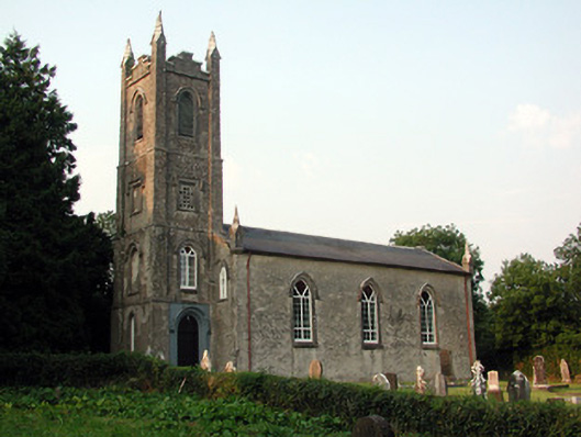 Saint Anne's Church (Annaduff)church/chapel · 1175 yd
 Ecclesiastical enclosure in AnnaduffEcclesiastical enclosure · 1187 yd
 Church (in Ruins)Church · 1210 yd
 Tom Dunphy MemorialMemorial · 1216 yd
 Enclosure in CloonteemEnclosure · 1.1 mi
 Wildlife AreaNature reserve · 1.4 mi
 Declaration of IndependenceMemorial · 1.6 mi
 Site of Dangan CastleCastle, unclassified · 2.7 mi
 InishmoylinIslet · 3.2 mi
 Coarse IslandForest · 3.4 mi
 Dockery's IslandIslet · 3.5 mi
 Cavan & Leitrim RailwayMuseum · 4.5 mi