What is recorded here
These two enclosures, marked as two small circular outlines on the second edition of the OS map, were located in rough boggy pasture on the W side of the Blackwater river valley. The site is now occupied by a plantation of trees and the enclosures can no longer be identified. Their small size suggests that they were fionnán enclosures (KE091-031001-).
The above description is derived from A. O'Sullivan and J. Sheehan (compilers), 'The Iveragh peninsula: an archaeological survey of South Kerry'. Cork University Press (1996), no. 818. In certain instances the entries have been revised and updated in the light of recent research.
Date of upload: 29 July 2013
The monument record does not grant public access. Check the route and ask the landowner before entering private land.
- What survives
- Recorded monument
Places near here
 Knockbathanawagga FortEnclosure · 877 yd
 EskineMountain / peak · 1113 yd
 IndicatedEnclosure · 1.0 mi
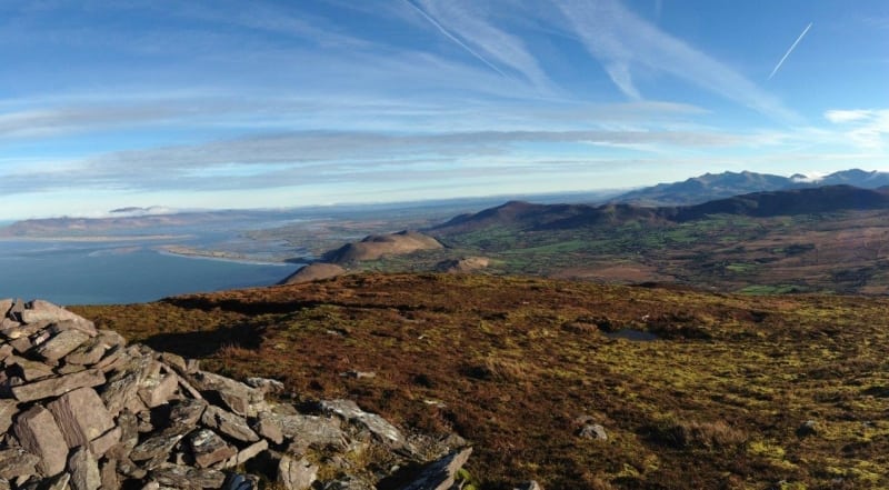 Faher MountainMountain / peak · 2.0 mi
 Ballaghbeama GapViewpoint · 3.4 mi
 Blackwater Cottagehouse · 3.9 mi
 Blackwater Bridgebridge · 3.9 mi
 Lackeen PointHeadland · 4.3 mi
 Rossmore IslandIsland · 4.7 mi
 Dromore CastleCastle · 4.8 mi
 Sneem Commemoration PlaqueMemorial · 5.2 mi
 De Gaulle MemorialMonument · 5.2 mi