What is recorded here
Indicated is a fairy fort in County Mayo, Ireland, where earthen scars and dual fosses still mark an oval chamber beneath blackthorn and pasture. It sits on a gentle west-facing slope, overlooked by a levelled ridge, inviting wonder about the lives that shaped or abandoned the site. The dense thicket and broken outer bank suggest human hands, seasonal use, or forgotten making rather than empty myth.
Located in pasture, on a rise at the base of a gentle W-facing slope, and overlooked c. 250m to W by a ridge on top of which a possible rath (MA030-070----), now levelled, is sited.
Raised, broadly oval area (c. 25-30m NW-SE; c. 35-40m NE-SW) defined by an earthen scarp (H 3m; Wth slope 5-6m), which retains a low internal rim at E, and enclosed by two fosses with an intervening bank (Wth 5.6m; int. H 0.4-0.6m; ext. H 2.2m). The inner fosse (Wth 2.5m) is narrower than the outermost fosse (Wth 4m; ext. D 0.85m). The outermost fosse is well defined on N and S, with a low rise (Wth 1.8m) on its outer edge in parts, which may represent a counterscarp bank, or possibly a later field bank.
The E half of the interior is level but there is a marked slope down from centre to W−SW. At the ESE, a U-shaped depression (Wth 4-5m) cuts through the fosses and outer bank, extending as far as the inner scarp; it appears to be the result of relatively modern disturbance/quarrying.
The perimeter is ringed with hawthorn, blackthorn and brambles, and there is a dense thicket of blackthorn in E half of interior.
Compiled by: Jane O’Shaughnessy
Date of upload: 5 June 2018
The monument record does not grant public access. Check the route and ask the landowner before entering private land.
- What survives
- Recorded monument
Places near here
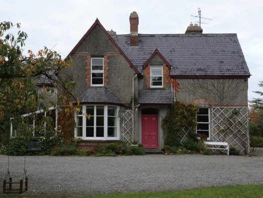 Knocksbarretthouse · 948 yd
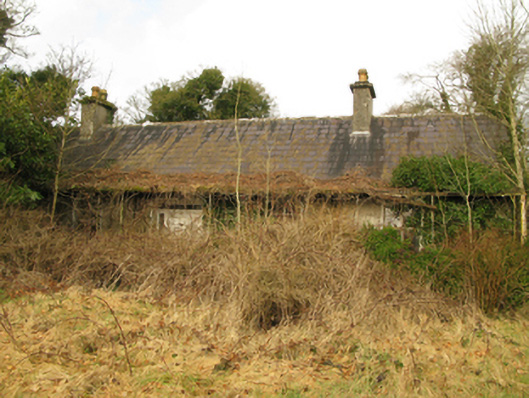 Coolcran Cottagefarm house · 1236 yd
 Rucklagh FortFairy fort / earthen ringfort · 1296 yd
 RathmoyleArchaeological place · 1392 yd
 Battle of Ballinabattle · 1534 yd
 CastleCastle, unclassified · 1.2 miHumbert MonumentMemorial · 1.4 mi
 Belleck CastleCastle, unclassified · 1.9 mi
 The Marshall Doran CollectionGallery · 2.2 mi
 Belleek WoodsWood · 2.3 mi
 FloretteWreck · 2.5 mi
 Gull IslandIslet · 3.0 mi