What is recorded here
In pasture, on N side of and overlooking Owennagearagh River. Roughly circular area (diam. c. 40m) defined by earthen bank (H 1.4m). Interior truncated on E side by laneway; Man-made underground passage (CO061-168002-) in S half.
The above description is derived from the published 'Archaeological Inventory of County Cork. Volume 3: Mid Cork' (Dublin: Stationery Office, 1997). In certain instances the entries have been revised and updated in the light of recent research.
Date of upload/revision: 14 January 2009
The monument record does not grant public access. Check the route and ask the landowner before entering private land.
- What survives
- Recorded monument
Places near here
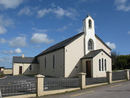 St Patrick's Roman Catholic Churchchurch/chapel · 578 yd
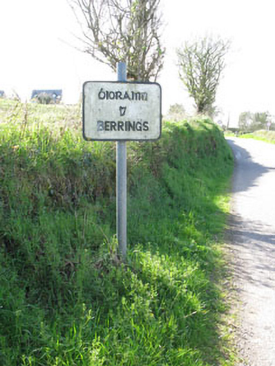 sign postsign post · 592 yd
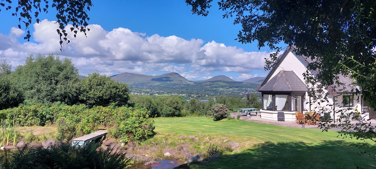 Man-made underground passage in BerringsMan-made underground passage · 1097 yd
 Ecclesiastical site in BallymacooEcclesiastical site · 1457 yd
 Ballyanly Inniscarra Slí na SláinteWalking route · 1.3 mi
 Bob AdamsMemorial · 2.5 mi
 Ballyvodane Castle (in Ruins)Castle, unclassified · 2.7 mi
 Carrignamuck Tower HouseCastle · 2.8 mi
 Iniscarra Dam ViewViewpoint · 3.5 mi
 Oldcastle WoodWood · 3.6 mi
 Coachford Greenway (End)Visitor information · 3.8 mi
 Hugh MaguireMemorial · 4.2 mi