What is recorded here
In pasture, on lowlying level ground. This is shown as a circular embanked enclosure (diam. 15-20m) on the 1838 OS 6-inch map; it is not shown on later map editions. No visible surface trace at ground level.
Compiled by: Jane O’Shaughnessy
Date of upload: 1 April 2020
The monument record does not grant public access. Check the route and ask the landowner before entering private land.
- What survives
- Recorded monument
Places near here
 Castle (in ruins)Castle, unclassified · 667 yd
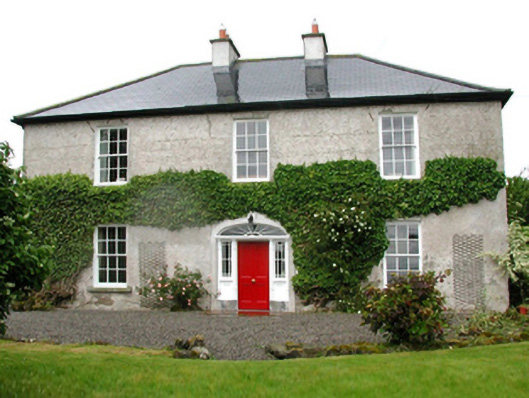 Barnfield Housefarm house · 707 yd
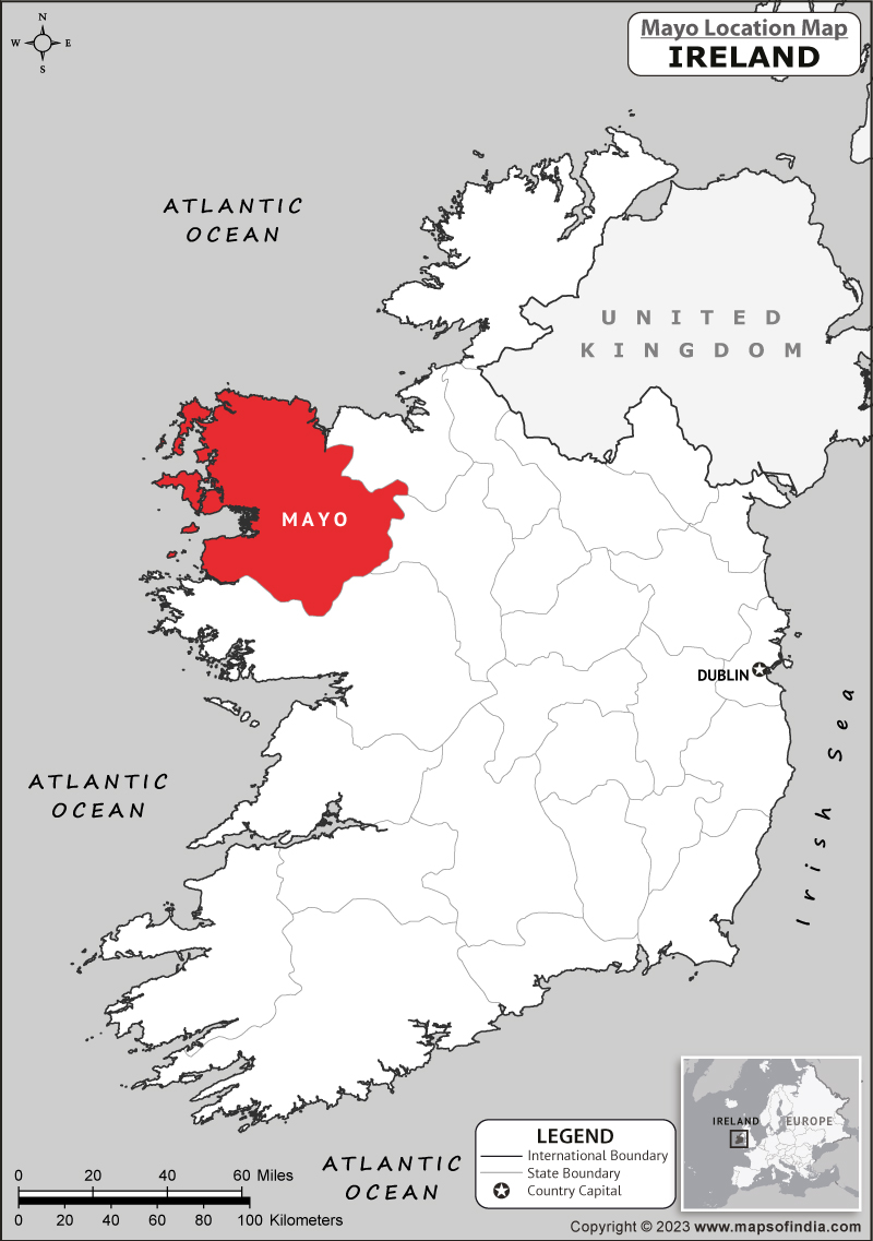 IndicatedFairy fort / earthen ringfort · 1510 yd
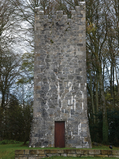 Mount Falconbuilding misc · 1564 yd
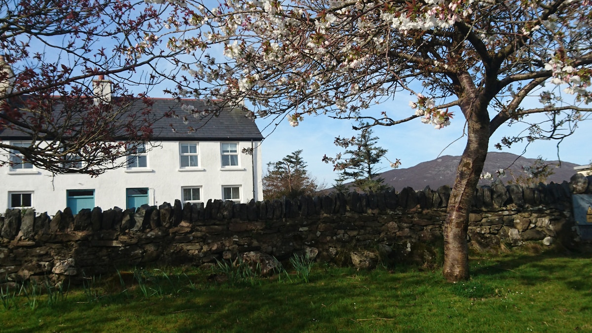 ToberbrideHoly well · 1.1 mi
 Gull IslandIslet · 1.5 mi
 Cloghans CastleCastle, tower house · 1.7 mi
 Cliff IslandIslet · 3.9 mi
 Drummin ForestForest · 4.1 mi
 Lough CullinViewpoint · 4.2 mi
 Battle of Ballinabattle · 4.8 miHumbert MonumentMemorial · 4.9 mi