What is recorded here
Indicated is a fairy fort or earthen ringfort in Gortanure, County Roscommon, Ireland. The circular grass-covered area sits on a gentle north-facing slope and measures about twenty-two metres north-south and twenty-one metres east-west. A low scarp and shallow fosse define its boundary, while local tradition describes it as a childrens burial ground. Archaeological testing nearby exposed part of a pit, confirming human activity around the site.
On a rise on a gentle N-facing slope. Circular grass-covered area (diam. 22m N-S; 21m E-W) defined by a scarp (H 0.5m at N to 1.05m at E) with some bushes, and a fosse (Wth of base 3m; D 0.2m) at W. There is no visible entrance, but there is a local tradition of its use as a childrens burial ground (RO008C004002-) (Gannon 1972). Archaeological testing (E3354) c. 35m outside the perimeter at SW produced portion of a pit (RO008C004003-) (diam. c. 1.5m) (Kerrigan 2009c).
Compiled by: Michael Moore
Date of upload: 24 August 2010
The monument record does not grant public access. Check the route and ask the landowner before entering private land.
- What survives
- Recorded monument
Places near here
 CaveHoly well · 1748 yd
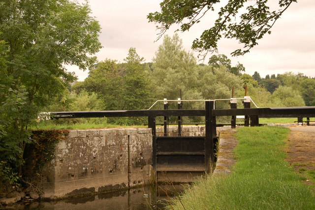 Embanked enclosureFairy fort / stone ringfort · 1.3 mi
 farm housefarm house · 1.5 mi
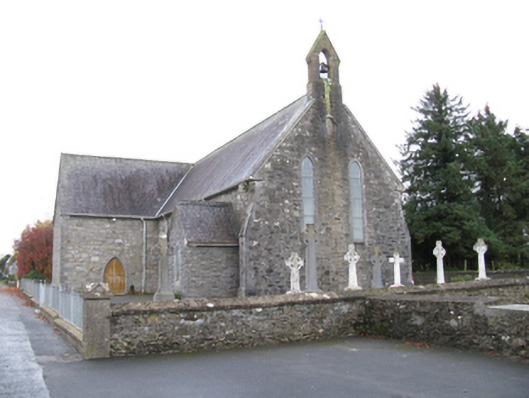 Saint James's Catholic Churchchurch/chapel · 1.6 mi
 Bockagh HillMountain / peak · 2.3 mi
 Old Cave Burial GroundArchaeological place · 3.4 mi
 Casatle (ruins)Castle, unclassified · 3.9 mi
 CastleCastle, unclassified · 4.7 mi
 Crow IslandIslet · 8.8 mi
 Castle PointHeadland · 9.1 mi
 Rose PointHeadland · 9.2 mi
 Bawn IslandIslet · 9.3 mi