What is recorded here
Within NE quadrant of a possible cashel (KE075-001----). The remains of a square hut (4.5m E-W; 4m N-S) defined by a drystone wall (T 1.6m; int. H 1.1m; ext. H c. 1.25m) at the E and S, by the inner face of the cashel wall at the N and by the E face of a N-S wall at the W. Oak and holly trees grow in the inaccessible interior of the hut. The adjacent N-S wall extends to the S where it abuts another hut site (KE075-001001-) which is situated towards the centre of the possible cashel.
Compiled by: Elizabeth Byrne, Ursula Egan and Sheila Ronan, Archaeological Survey Unit, University College, Cork.
Date of upload: 31 January 2011
The monument record does not grant public access. Check the route and ask the landowner before entering private land.
- What survives
- Recorded monument
Places near here
 IndicatedHut site · 19 yd
 Enclosure in Gortagullane (magunihy By.)Enclosure · 602 yd
 Blue Pool Nature ReserveWood · 614 yd
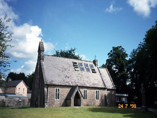 church/chapelchurch/chapel · 983 yd
 The Blue PoolGallery · 1009 yd
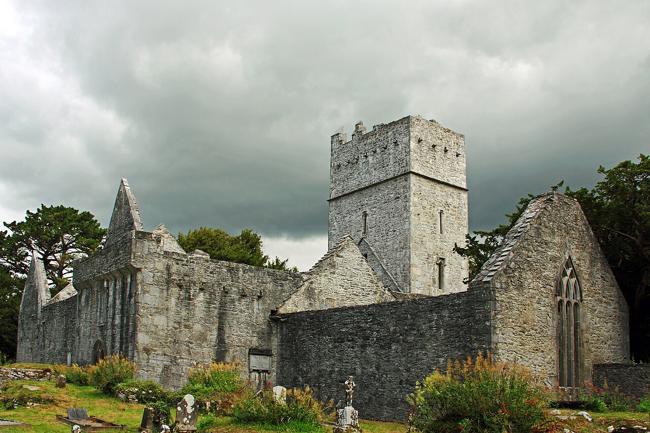 Muckross Abbey (in ruins)Religious house, Franciscan friars · 1466 yd
 Muckross AbbeyHeritage attraction · 1475 yd
 European YewEuropean Yew · 1495 yd
 Osprey RockIsland · 1.2 mi
 A.W.B. (Billy) Vincent MemorialMemorial · 1.2 mi
 McCarthy Mor CastleCastle · 1.4 mi
 Castlelough BayBay · 1.4 mi