What is recorded here
Indicated is a stone ringfort in County Kerry where rough ferns still choke the entrance and two hollow depressions wait on the east like forgotten cups. Its curved walls rise two metres on the south but collapse into shadow elsewhere, suggesting people built there to catch warmth or hide from rain. The inner wall splits the dark into two small rooms, perhaps for a person and a beast, while the west slope drops away into uncertainty.
In rough fern and tree-covered pasture, on the edge of a steep W-facing slope, with two large natural depressions on the E side. A subrectangular area (c. 37.3m N-S; 41m E-W) defined by a curving, drystone wall (at W: T 0.55m; int. H 0.75m; ext. H 1.2m; at N: T 1m; int. H 0.4m; ext. H 1.95m and at S: H 2m) along the N and S arcs and elsewhere by a more linear-type wall. A largely collapsed wall forms the E side, which is in a natural depression. The upper courses of all the walls have a core of mainly smaller stones, which appear to be from field clearance. Larger stones and boulders are used in the lower courses. The entrance (Wth 5m) is at E. The interior is largely obscured by ferns and deciduous trees and slopes gently down to E. A partially collapsed linear drystone wall (L 13.3m; T 2.7m; H 1.4m) extends S into the interior from the inner face of the enclosing element at N. The N end of this wall forms the W side of a hut site (KE075-001002-) and the S end abuts a second hut site (KE075-001001-).
Compiled by: Elizabeth Byrne, Ursula Egan and Sheila Ronan, Archaeological Survey Unit, University College, Cork.
Date of upload: 31 January 2011
The monument record does not grant public access. Check the route and ask the landowner before entering private land.
- What survives
- Recorded monument
Places near here
 IndicatedHut site · 5 yd
 Enclosure in Gortagullane (magunihy By.)Enclosure · 596 yd
 Blue Pool Nature ReserveWood · 608 yd
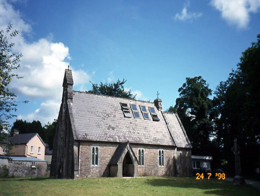 church/chapelchurch/chapel · 985 yd
 The Blue PoolGallery · 1011 yd
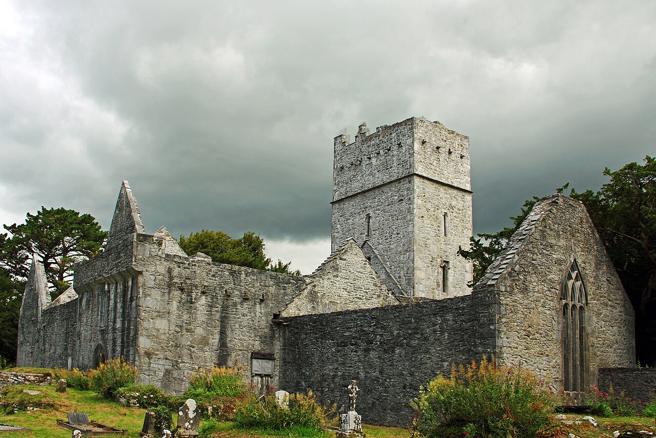 Muckross Abbey (in ruins)Religious house, Franciscan friars · 1465 yd
 Muckross AbbeyHeritage attraction · 1474 yd
 European YewEuropean Yew · 1494 yd
 Osprey RockIsland · 1.2 mi
 A.W.B. (Billy) Vincent MemorialMemorial · 1.2 mi
 McCarthy Mor CastleCastle · 1.4 mi
 Castlelough BayBay · 1.4 mi