What is recorded here
Indicated is a possible fairy fort in County Kerry, Ireland, where a fifteen-metre earthen arc still marks the west edge of a fifty-metre circle. The rest has vanished into level pasture or been buried beneath newer walls, leaving only a ghost of its shape. Whatever lived inside that ring has stopped resisting the grass, yet the surviving bank holds its line against the modern world like a boundary drawn by someone who expected to be forgotten.
In level pasture. This possible rath is indicated as a circular enclosure (diam. c. 50m) on the 1894-5 OS 6-inch map. The remains consist of an arc (C c. 15m) of an earthen bank (Wth 0.95m; H 0.55m) WSW-NNW which is respected externally by a modern wall. A recently constructed earthen bank and wall occupy the original SE portion of the possible rath. The interior is level.
Compiled by: Elizabeth Byrne, Ursula Egan and Sheila Ronan, Archaeological Survey Unit, University College, Cork.
Date of upload: 31 January 2011
The monument record does not grant public access. Check the route and ask the landowner before entering private land.
- What survives
- Recorded monument
Places near here
 IndicatedHut site · 224 yd
 Enclosure in Gortagullane (magunihy By.)Enclosure · 376 yd
 Blue Pool Nature ReserveWood · 791 yd
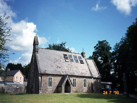 church/chapelchurch/chapel · 1203 yd
 The Blue PoolGallery · 1230 yd
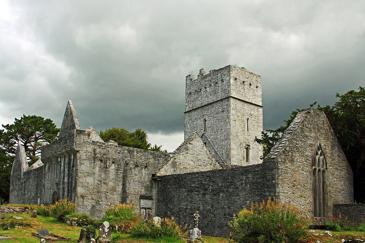 Muckross Abbey (in ruins)Religious house, Franciscan friars · 1674 yd
 Muckross AbbeyHeritage attraction · 1683 yd
 European YewEuropean Yew · 1702 yd
 A.W.B. (Billy) Vincent MemorialMemorial · 1.3 mi
 Osprey RockIsland · 1.3 mi
 McCarthy Mor CastleCastle · 1.5 mi
 Castlelough BayBay · 1.5 mi