
What is recorded here
Indicated is a lost medieval field system in County Dublin, Ireland. Small irregular fields appeared on the 1837 map and remained visible in 1971 aerial photography before building covered them. The fields may have belonged to an old settlement, but no house, lane or named life has survived to confirm that claim.
The 1837 OS 6-inch map shows an irregular pattern of small fields which may be part of a medieval settlement. This field system was visible on aerial photography taken in 1971 (FSI 24181/417). Built over. Not visible at ground level.
Compiled by: Geraldine Stout
Updated by: Christine Baker
Date of upload: 18 January 2015
The monument record does not grant public access. Check the route and ask the landowner before entering private land.
- What survives
- Recorded monument
Places near here
 KilnKiln, corn-drying · 596 yd
 Church in Cloghran (castleknock By.)Church · 684 yd
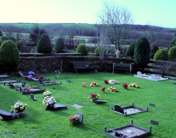 Cremation pit in BayCremation pit · 685 yd
 Ring-ditch in Cloghran (castleknock By.)Ring-ditch · 880 yd
 Graveyard in BuzzardstownGraveyard · 1748 yd
 TyrrelstownWood · 1.1 mi
 Depicted Kilshane MoatCastle, motte · 1.6 mi
 Site of CastleCastle, tower house · 1.8 mi
 Blanchardstown Centre information deskVisitor information · 1.9 mi
 Wesley's WoodsWood · 2.8 mi
 Liam Ó MaoilíosaMemorial · 2.9 mi
 BallymunVisitor information · 4.4 mi
Other information
Photo: Credit not shown in the picture search · Rights wording not checked; contact us if this picture should be removed