
What is recorded here
A corn-drying kiln associated with a collection of pits and gullies was excavated ahead of the Tyrrelstown to N2 Cherryhound Interchange link road in 2008 (E3920). The kiln was a SE-NW orientated, steep-sided hollow with a concave oxidised base. It contained four stratified deposits representing successive phases of use. Charcoal remains of alder, hazel, cherries, elm and Maloideae were present. It was radiocarbon dated to AD1020-1180 . A single piece of flint and a single fragment of Dublin-type ware were recoved in the topsoil (O' Hara , R. 2011, 104).
Compiled by: Geraldine Stout
Date of upload: 27 August 2012
The monument record does not grant public access. Check the route and ask the landowner before entering private land.
- What survives
- Recorded monument
Places near here
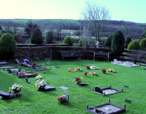 Cremation pit in BayCremation pit · 250 yd
 Kiln in BayKiln · 502 yd
 IndicatedField system · 596 yd
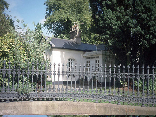 Hollywoodrathgate lodge · 765 yd
 TyrrelstownWood · 1.1 mi
 Graveyard in BuzzardstownGraveyard · 1.1 mi
 Depicted Kilshane MoatCastle, motte · 1.5 mi
 CastleCastle, unclassified · 1.9 mi
 Blanchardstown Centre information deskVisitor information · 2.2 mi
 Wesley's WoodsWood · 2.5 mi
 Liam Ó MaoilíosaMemorial · 3.1 mi
 Griffeen Valley WalkWalking route · 6.1 mi
Other information
Photo: Credit not shown in the picture search · Rights wording not checked; contact us if this picture should be removed