What is recorded here
This monument has been levelled and is not visible at ground level. Nearby ringfort (WM033-056----) located 65m to the NE. Depicted as a small mound-like earthwork on the 1837 ed. OS 6-inch map. Not depicted on subsequent editions of the OS 6-inch maps as the site was levelled between these editions.
Compiled by: Caimin O'Brien
Date of upload: 09 July 2013
Neolithic passage tomb; dates to the 4th to 3rd millennium BCE. It is part of the broader Gneevebane complex, a significant archaeological site associated with early farming communities in the Burren, County Clare.
The monument record does not grant public access. Check the route and ask the landowner before entering private land.
- What survives
- Recorded monument
Places near here
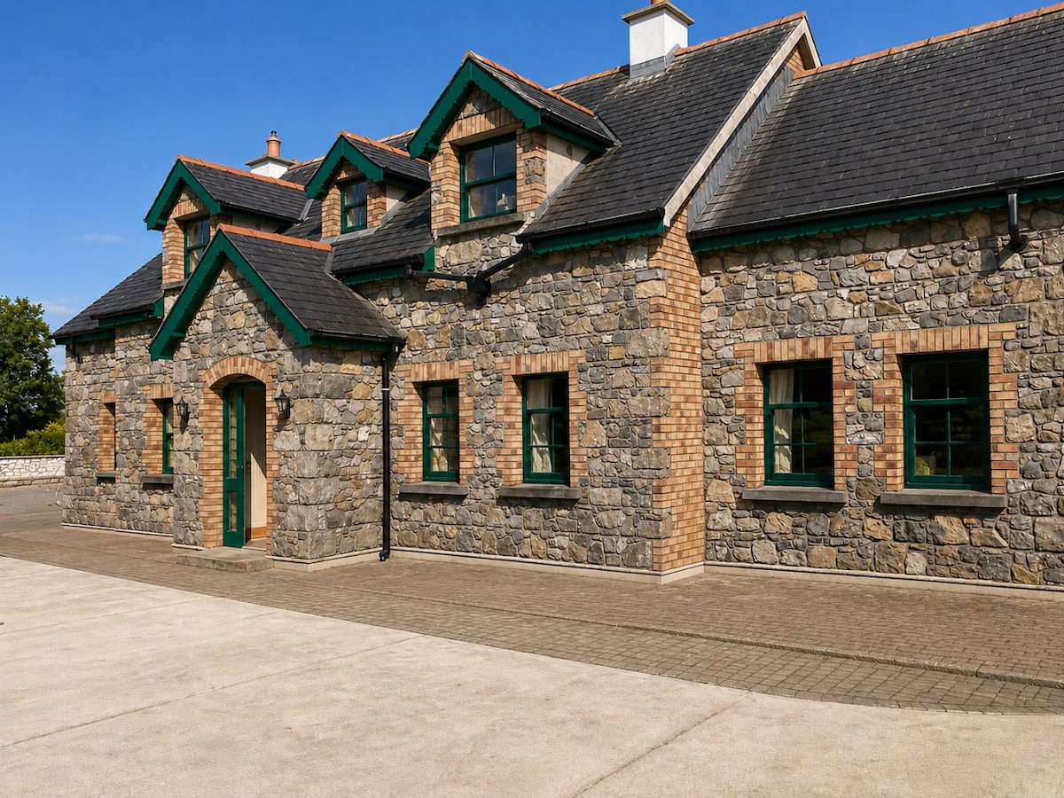 Partially HachuredFairy fort / earthen ringfort · 103 yd
 Fairy fort / ringfort in GneevebaneFairy fort / ringfort · 621 yd
 CastleCastle, hall-house · 1149 yd
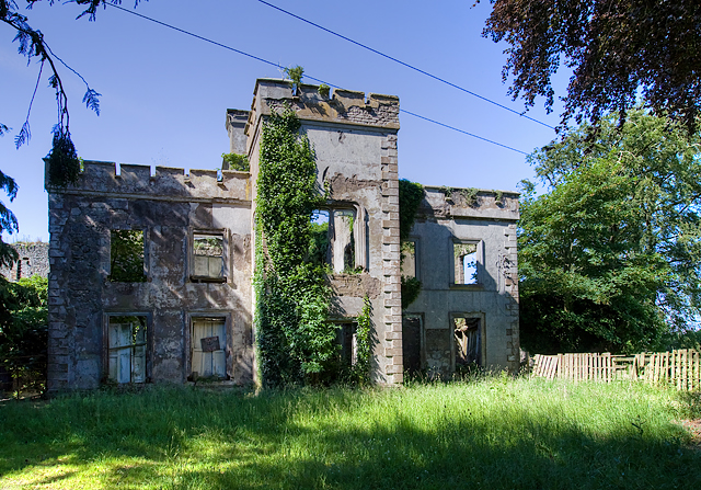 Newcastle Househouse · 1150 yd
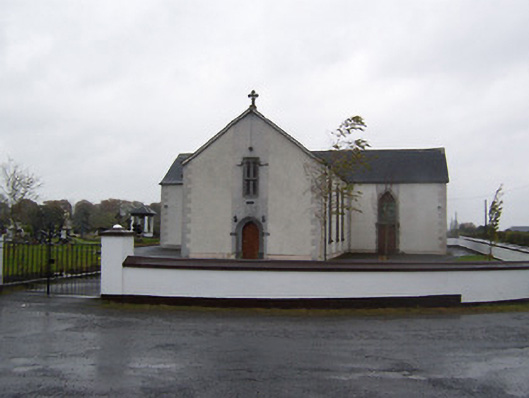 Catholic Church of the Sacred Heartchurch/chapel · 1542 yd
 Castlelost MoatCastle, motte and bailey · 1.5 mi
 Derrygreenagh HillMountain / peak · 4.0 mi
 Ardan WoodWood · 4.8 mi
 Croghan HillMountain / peak · 5.0 mi
 Cruil HillMountain / peak · 5.0 mi
 Dysart IslandIsland · 5.1 mi
 Finnrenashark Holy WellSpring · 5.2 mi