What is recorded here
Indicated is a circular enclosure in a hollow on high rocky ground in County Clare, Ireland. A narrow drystone wall forms the circle, two lintels mark the east-south-east entrance, and a small raised area sits at the centre. It may have been a boundary for a household, a marker for a field, or a kept place for people who moved through the rocks.
Situated in a hollow area in high rocky ground. Listed as ‘Cashel’ in the SMR (1992) and the RMP (1996) and hachured on the 1st ed OS 6-inch map. Described by Westropp (1899, 380) as a ‘circular fort’. On inspection in 1998 this was found to be a circular enclosure (diam. c. 30m) defined by an apparently modern, narrow, drystone wall with no thickening at the base. Two lintels mark and entrance at ESE. A small raised area occupies the centre of the interior.
Compiled by: Mary Tunney
Date of upload: 20 January 2016
The monument record does not grant public access. Check the route and ask the landowner before entering private land.
- What survives
- Recorded monument
Places near here
 EnclosureEnclosure, large enclosure · 213 yd
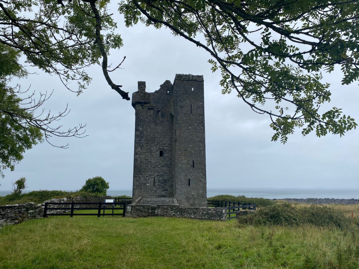 IndicatedFairy fort / stone ringfort · 273 yd
 Gleninshing portal tombHeritage attraction · 489 yd
 Gleninshing tombHeritage attraction · 727 yd
 Gleansleade Castle (in ruins)Castle, tower house · 1333 yd
 The Portal TombVisitor information · 1.2 mi
 PoulnabroneMemorial · 1.2 mi
 Poulnabrone - Burren GeositeVisitor information · 1.3 mi
 Aillwee CaveCave · 1.6 mi
 Aillwee Cave Visitor Centreheritage centre/interpretative centre · 1.7 mi
 Caherconnell Stone FortRuins · 1.7 mi
 Cave of the Wild HorsesCave · 2.0 mi