What is recorded here
St. Nicholas' church (TS083-020----) is situated S of the town wall, in open ground on a gentle W-facing slope between St. Nicholas' Lane to the N and Whitening Stream to the S and W, in the Old Bridge quarter of the town. The church is located in the NW quadrant of a sub-rectangular graveyard (dims. 25m N-S; 29m E-W) which is delimited by a low, ruined stone wall. The earliest noted gravestones were of 18th-century date. (Farrelly and FitzPatrick 1993, 66-7).
Compiled by: Jean Farrelly
Date of revised upload: 20 January 2015
A local ancient tomb; wider significance not recorded.
The monument record does not grant public access. Check the route and ask the landowner before entering private land.
- What survives
- Recorded monument
Places near here
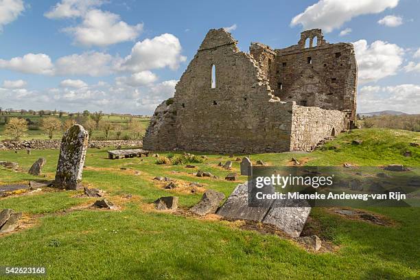 Templenaplague or St. Nicholass Ch. (in ruins)Church · 10 yd
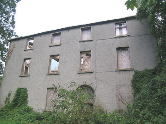 Suir Island Housemiller's house · 216 yd
 Streches IslandIsland · 292 yd
 Creamery (site of)Archaeological place · 320 yd
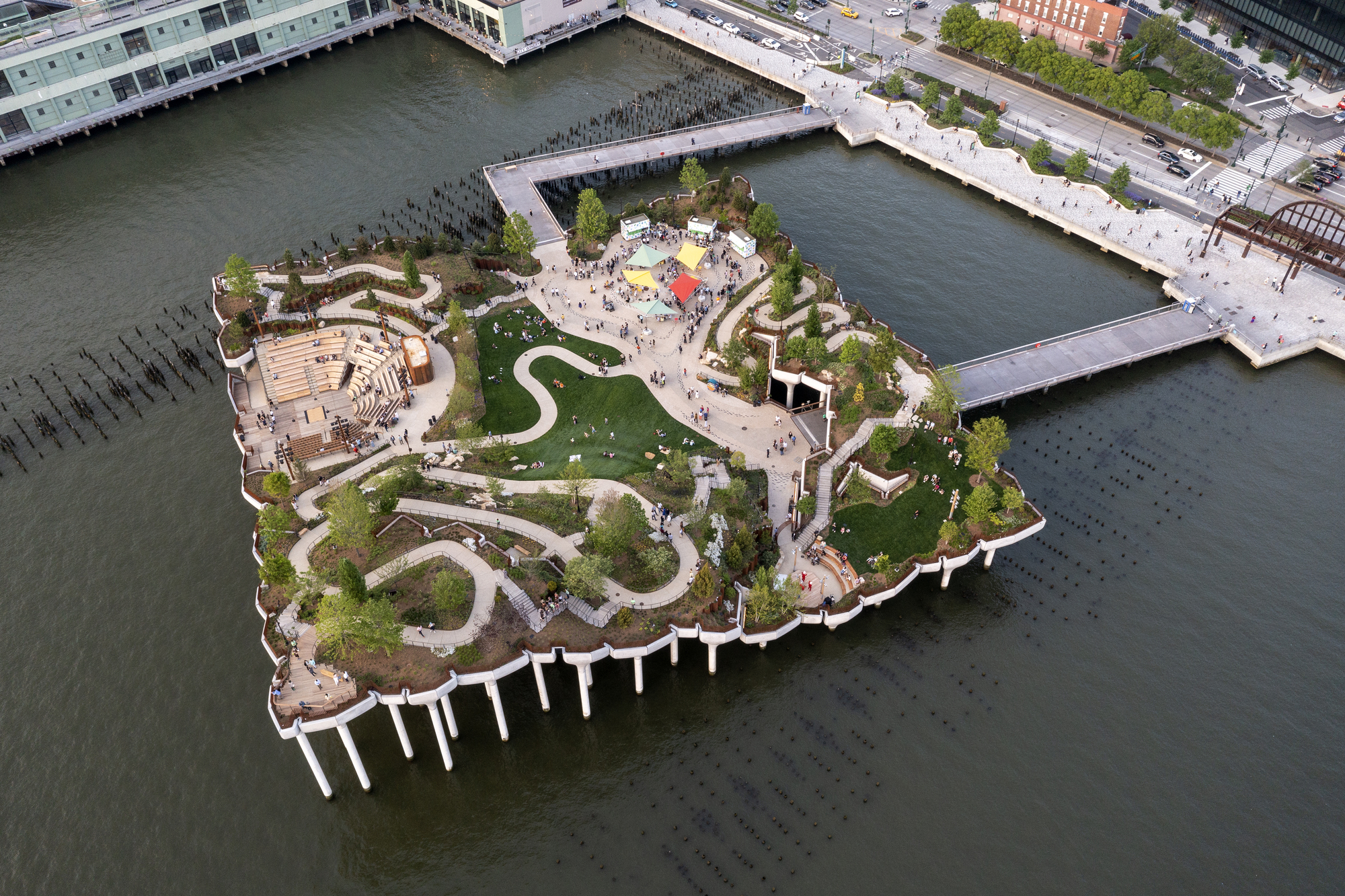 Little IslandIslet · 365 yd
 Merchant's HouseVisitor information · 394 yd
 Francis HopkinsMemorial · 483 yd
 John HackettMemorial · 491 yd
 CastleCastle, unclassified · 500 yd
 Habitation site in Burgagery-Lands WestHabitation site · 523 yd
 Main GuardHeritage attraction · 529 yd
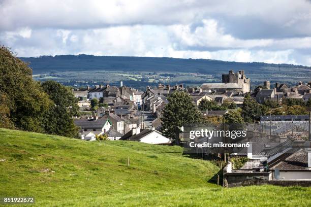 VestryCastle · 673 yd