What is recorded here
Located in the valley of a small N-S stream, which is c. 20m to the W. The tower of the fortified parish church of Kilmannan (WX042-021001-) is within a rectangular graveyard (dims c. 50m E-W; c. 30m N-S) defined by masonry walls. Two small crosses (WX042-021004-; WX042-021005-) in a green stone are in the graveyard just S of the church tower as reported by Catherine McLoughlin (2020). The bullaun stone (WX042-021002-) is in a field c. 40m to the SW on the other side of an ENE-WSW public road. Archaeological testing (16E0387) c. 5-40m E of the E wall of the graveyard N-E failed to produce any related material. (McLoughlin 2016)
Compiled by: Michael Moore
Date of upload: 27 May, 2013
Amended: 9 September 2020; 23 October 2020
The monument record does not grant public access. Check the route and ask the landowner before entering private land.
- What survives
- Recorded monument
Places near here
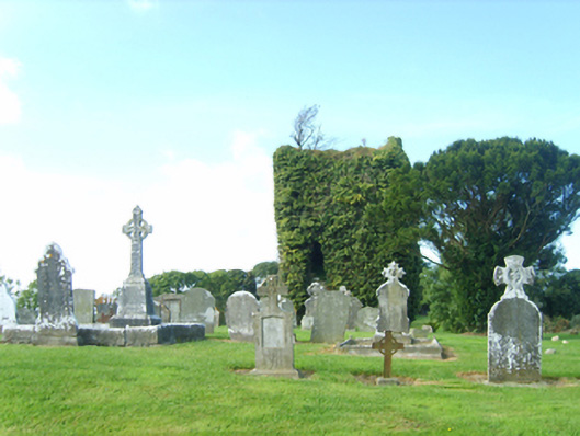 graveyard/cemeterygraveyard/cemetery · 6 yd
 farm housefarm house · 197 yd
 St. Mannans WellHoly well · 353 yd
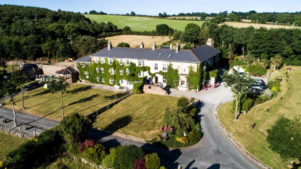 Bawn in Durra BigBawn · 1275 yd
 Bawn in Newcastle (bargy By.)Bawn · 1357 yd
 Carrickatinna RockMountain / peak · 1.2 mi
 Skeater RockMountain / peak · 1.3 mi
 Trinity WellHoly well · 1.5 mi
 Dawn RedwoodDawn Redwood · 3.0 mi
 Japanese cedarJapanese cedar · 3.1 mi
 1798 Memorial PlaqueMemorial · 5.7 mi
 Coolcliffe HouseRuins · 6.7 mi