What is recorded here
Indicated, Glascarrig North is a motte and bailey castle in County Wexford, Ireland. Diarmuid Mac Murchada landed there from Wales in 1167, possibly using it as a port for Ferns. Raymond le Gros received it after the Anglo-Norman invasion of 1170, and his nephew William de Caunteton may have built the motte before MacMurchada destroyed the manor in 1311.
Returning from Wales in 1167 Diarmuid Mac Murchada landed at Glascarrig, which may have served as a port for Ferns (Colfer 2002, 11). After the Anglo-Norman invasion of 1170 Glascarrig was granted to Raymond le Gros and by the end of the century it had passed to his nephew William de Caunteton, who may have constructed the motte. The Cauntetons continued to hold the manor of Glascarrig until it was destroyed by MacMurchada in 1311, after which it may have been abandoned. Forty eight burgages are recorded in 1311 (Griffith 1952, 160), indicating a substantial settlement. (Breen 2007, 67-8).
The motte is located on a slight promontory (H c. 10m) overlooking the seashore immediately to the N and E. It is a flat-topped, grass-covered earthen mound (diam. of top 13m; diam. of base 36m; H 5.8-6m) defined by a flat-bottomed fosse (Wth of top 6–8m; D 0.5m at N to 1.7m at S). A possible bailey (dims. 37m E-W; 24-27m N-S) is a grass-covered area to the S defined by the sea at E, a gorge (D 4m) at S and an earthen bank (Wth 4-05m; ext. H 1m; L 27m) at W. The E side of the motte's fosse is being eroded by the sea.
The above description is derived from the published 'Archaeological Inventory of County Wexford' (Dublin: Stationery Office, 1996). In certain instances the entries have been revised and updated in the light of recent research.
Compiled by: Michael Moore
Date of upload/revision: 21 May, 2012
Glascarrig North was granted to Raymond le Gros following the Anglo-Norman invasion of 1170 and is remembered as a strategic landing site used by Diarmuid Mac Murchada in 1167, highlighting its early medieval importance in the region's political and military history.
This remains an important historical record, but the official description says the monument is no longer visible or has been destroyed. The monument record does not grant public access. Check the route and ask the landowner before entering private land.
- What survives
- No visible remains or recorded as destroyed
Places near here
 Glascarrig PrioryRuins · 5 yd
 Glasscarrig Abbey (in ruins)Religious house, Monks of the Order of Tiron · 296 yd
 Glascarrig AbbeyArchaeological place · 309 yd
 Ladys Well or TobermurryHoly well · 428 yd
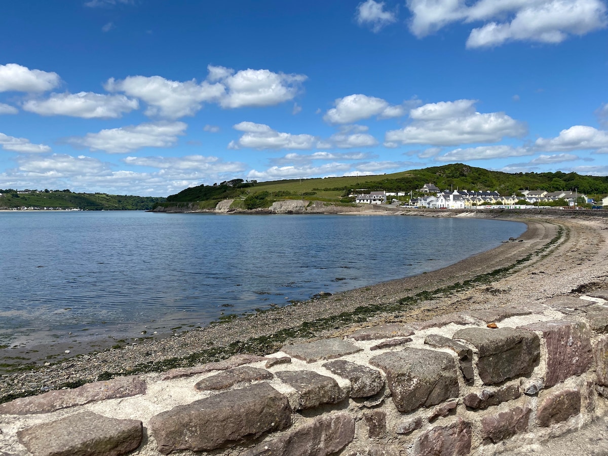 Glascarrig BeachBeach / strand · 631 yd
 Donaghmore BeachBeach / strand · 973 yd
 1798 MemorialMemorial · 1.0 mi
 Wexford - TexasMemorial · 1.2 mi
 Gilligan's CaveCave · 1.3 mi
 Shrule Deer FarmHeritage attraction · 2.5 mi
 The Cahore Polders and DunesNature reserve · 3.3 mi
 Embanked enclosureCastle, motte · 3.7 mi