What is recorded here
In rough pasture, on the SE-facing slope of a glacial moraine on the floor of the Glantrasna River valley. A circular area (diam. 8m) defined by a collapsed drystone wall (T c. 0.7m at base, 0.4m at top; H 1.3m) which narrows from the base to the top. Some large boulders are incorporated into the lower course which protrudes above the bog. The interior slopes down to the SE and is strewn with rubble. Rubble is also scattered on the downslope externally to the SE.
The above description is derived from the published 'Archaeological Inventory of County Kerry. Volume I: South-West Kerry' (Dublin: Stationery Office, 2009). In certain instances the entries have been revised and updated in the light of recent research.
Date of upload: 30 May 2011
The monument record does not grant public access. Check the route and ask the landowner before entering private land.
- What survives
- Recorded monument
Places near here
 Field system in GlanrastelField system · 167 yd
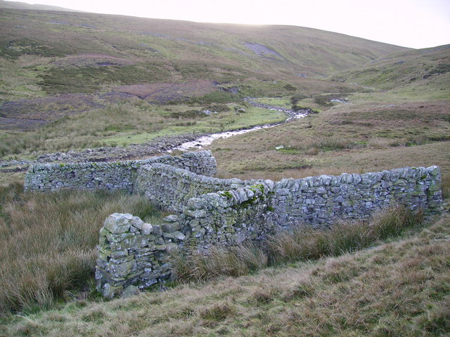 SheepfoldEnclosure · 848 yd
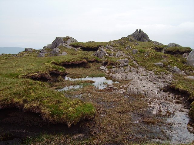 KnockowenMountain / peak · 1516 yd
 DroppaCliff · 1.5 mi
 KnockastumpaMountain / peak · 1.6 mi
 Clogherane Br.Bridge · 1.8 mi
 Elistragh Br.Bridge · 1.9 mi
 Duck RockIslet · 2.6 mi
 IllaunateeIslet · 2.6 mi
 New Zealand broadleafNew Zealand broadleaf · 3.0 mi
 Japanese cedarJapanese cedar · 3.1 mi
 Old Stone CottagesHeritage attraction · 3.7 mi