What is recorded here
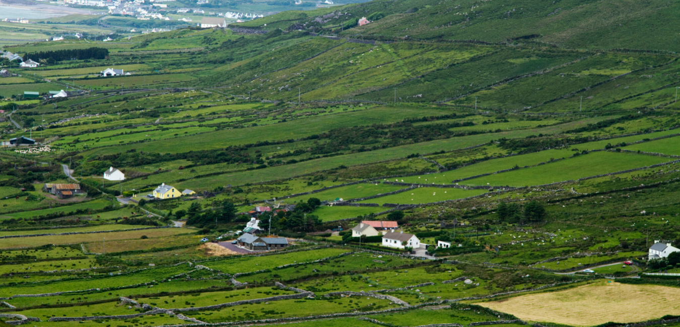
A circular enclosure is marked on the second edition of the OS map at this location. Recent land reclamation has resulted in the removal of the site, which was known of locally as a'small lios' (Ó Cíobháin 1978, 133).
The above description is derived from A. O'Sullivan and J. Sheehan (compilers), 'The Iveragh peninsula: an archaeological survey of South Kerry'. Cork University Press (1996), no. 674. In certain instances the entries have been revised and updated in the light of recent research.
Date of upload: 29 July 2013
The monument record does not grant public access. Check the route and ask the landowner before entering private land.
- What survives
- Recorded monument
Places near here
 Beann DubhMountain / peak · 1550 yd
 Ecclesiastical site in Shronahiree MoreEcclesiastical site · 1.0 mi
 Beann BhánMountain / peak · 1.2 mi
 Burnt spread in DromteewakeenBurnt spread · 1.4 mi
 Ballaghbeama GapViewpoint · 2.4 mi
 Blackstones Bridgebridge · 3.5 mi
 CarrauntoohilMountain / peak · 4.2 mi
 Devil's Ladder RouteWalking route · 5.4 mi
 Penitential station in TreanmanaghPenitential station · 5.4 mi
 Crash site of USAAF DakotaHeritage attraction · 6.1 mi
 Lough Nambrackdarrig Nature ReserveNature reserve · 7.9 mi
 Castle Core (in Ruins)Castle, tower house · 9.2 mi