What is recorded here
In pasture, on an E-facing slope. An almost square area (19m E-W; 18m N-S) largely obscured by overgrowth of briars, bushes, ash trees and the debris of decaying branches. It is defined on its S side by traces of an earthen bank (H 0.15m; Wth c. 1m) with an external fosse (Wth c. 1.5m; D 0.2m) through which a small stream flows. Its W side is defined by a partly eroded earthen bank (max. Wth 1.5m; int. H 1m; ext. H 0.5m) with traces of an external fosse (Wth c. 1.5m; D 0.2m). The enclosing element on the N side consists of the remains of an eroding and heavily overgrown earthen bank (Wth c. 1.3m; H c. 0.1m). Because of the overgrowth it is unclear if there are any remains of the enclosing elements on the E side.
The above description is derived from 'The Archaeological Inventory of County Cork. Volume 5' (Dublin: Stationery Office, 2009).
Date of upload: 22 December 2009
The monument record does not grant public access. Check the route and ask the landowner before entering private land.
- What survives
- Recorded monument
Places near here
 Stone circle ( Glanbrack )Archaeological place · 786 yd
 KilnKiln, lime · 1008 yd
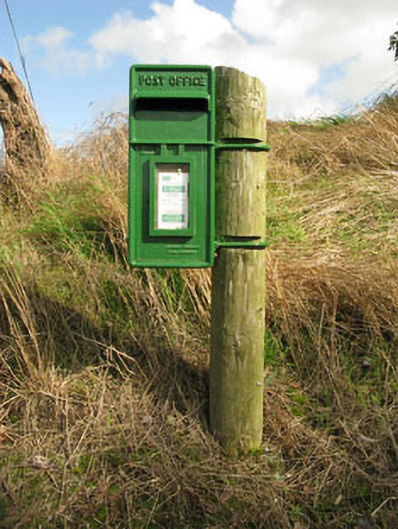 post boxpost box · 1126 yd
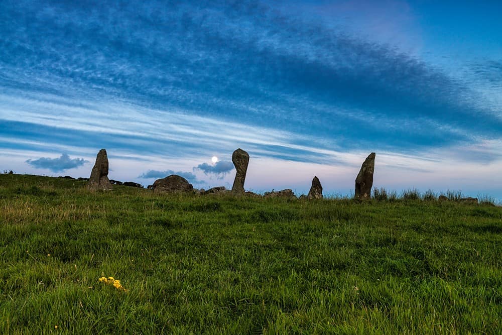 Stone Circle ( Maulathanavalla )Archaeological place · 1664 yd
 Jeremiah O'Donovan RossaMemorial · 1.7 mi
 Cross commemorating Holy Day.Memorial · 2.3 mi
 CarrigfaddaMountain / peak · 2.4 mi
 Ballinvard CastleCastle · 2.6 mi
 Clasharusheen Mansion (Site of)Castle, unclassified · 2.9 mi
 Michael Collins BirthplaceHistoric birthplace · 3.4 mi
 Mohona WoodWood · 4.7 mi
 Corran HillMountain / peak · 5.1 mi