What is recorded here
Situated in a low-lying area. A subrectangular enclosure (max. dims. c. 51m N-S; c. 42m E-W) defined by an inner bank (int. H c. 0.3m), an intervening fosse (Wth c. 2.6m, D c. 0.8m) with possible outer bank at NW. Entrance with causeway at N.
The above description is derived from the published 'Archaeological Inventory of County Laois' (Dublin Stationery Office, 1995) compiled by P. David Sweetman, Olive Alcock and Bernie Moran. In certain instances the entries have been revised and updated in the light of recent research.
Date of upload: 17 December 2007
This monument is subject to a preservation order made under the National Monuments Acts 1930 to 2014 (PO no. 9/1977).
The monument record does not grant public access. Check the route and ask the landowner before entering private land.
- What survives
- Recorded monument
Places near here
 Ecclesiastical enclosure in KildelligEcclesiastical enclosure · 1652 yd
 CastleCastle, motte · 1672 yd
 Enclosure in Beckfield,tinnaclohyEnclosure · 1.1 mi
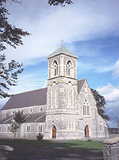 Saint Canice's Catholic Churchchurch/chapel · 1.2 mi
 Bordwell Church (in Ruins)Church · 1.3 mi
 Kilbreedy CastleCastle · 1.9 mi
 European PearEuropean Pear · 2.9 mi
 Big WoodWood · 3.4 mi
 Cnoc SeanrathaMemorial · 7.1 mi
 Black HillMountain / peak · 8.9 mi
 Anker's IslandIsland · 9.4 mi
 Tullow HillMountain / peak · 9.9 mi