What is recorded here
Situated on a coastal promontory jutting S. This is a grass-covered L-shaped area of c. 1 ha (dims. c. 80m NE-SW; c. 30m NW-SE) defended at the narrowest point where it is attatched to the mainland at the NE end of the NW side by two eroded banks and fosses. The inner bank (Wth 4.8m; int. H 0.35m; ext. H 0.55m; L 22m) and fosse (Wth of top 6.35m; Wth of base 2m; D 0.5m) are separated by a berm (Wth 12m) from the outer bank (Wth 2m; int. H 0.3m; ext. H 1.1m; L 27m) and outer fosse (Wth of top 5.1m; Wth of base 2.5m; D below outer field bank 1.45m). The causeways across the outer (Wth 6m) and inner (Wth 3m) fosses are possibly modern. (Westropp 1906, 256; 1908, 230; 1914-16, 215)
Westropp, T. J. (1906) Notes on certain promontory forts in the counties of Waterford and Wexford. JRSAI, 36, 239-58.
Westropp, T. J. (1908) Promontory forts in the Irrus, County Clare; Part 2. Loop Head and Cross group, JRSAI 36, 221-31.
Westropp, T. J. (1914-16) Fortiified headlands and castles on the south coast of Munster. PRIA C vol. 32, 188-227.
The above description is derived from the published 'Archaeological Inventory of County Waterford' (Dublin: Stationery Office, 1999). In certain instances the entries have been revised and updated in the light of recent research.
Compiled by: Michael Moore
Date of upload/Revision: 27 May 2011
A local fairy fort (ringfort/rath); wider significance not recorded.
The monument record does not grant public access. Check the route and ask the landowner before entering private land.
- What survives
- Recorded monument
Places near here
 Garrarus StrandBeach / strand · 453 yd
 Promontory fortPromontory fort, coastal · 488 yd
 IndicatedEnclosure · 867 yd
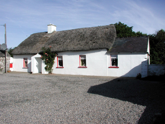 Historic buildingOfficially recorded historic building · 1522 yd
 Metal Man Towerbeacon · 1.1 mi
 The Metal ManHeritage attraction · 1.1 mi
 Newtown WoodsWood · 1.4 mi
 Kilfarrasy BeachBeach / strand · 1.4 mi
 Doneraile WalkWalking route · 2.3 mi
 Cannon GunBattlefield · 2.4 mi
 Fenor BogNature reserve · 2.4 mi
 Ballyscanlon HillMountain / peak · 2.5 mi