What is recorded here
Internal diam. 21m N-S, 22m E-W
Located between two field boundaries on the W slopes of Bentee mountain, this circular univallate rath overlooks Valencia Harbour to W. The enclosing bank, composed of earth and stone, is poorly preserved and has virtually disappeared along the N side, where it is truncated by a field boundary. At the downslope W side, the bank has an external height of 1.75m and falls .3m internally. At E it measures .9m high internally and is 2.3m wide. A shallow fosse runs along the inner base of the bank in the E sector, but it is not clear if this is an original feature. Though the bank is gapped in several places, the original entrance to the site appears to be at SE, where a gap measures 2.2m wide.
The foundations of a circular hut (KE079-064001-) occupy the interior of the rath. It has an internal diameter of 5m and an opening, .4m wide, at SW. There is a local tradition of a Man-made underground passage (KE079-064002-) in the NW quadrant of the rath.
The above description is derived from A. O'Sullivan and J. Sheehan (compilers), 'The Iveragh peninsula: an archaeological survey of South Kerry'. Cork University Press (1996), no. 510. In certain instances the entries have been revised and updated in the light of recent research.
Date of upload: 29 July 2013
The monument record does not grant public access. Check the route and ask the landowner before entering private land.
- What survives
- Recorded monument
Places near here
 Ecclesiastical enclosure in Letter (iveragh By.)Ecclesiastical enclosure · 985 yd
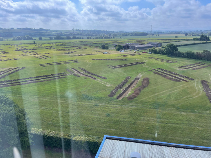 Cultivation ridges in Letter (iraghticonnor By.)Cultivation ridges · 1062 yd
 Mc Crehins Castle (Site of)Castle, unclassified · 1366 yd
 CastleCastle, unclassified · 1517 yd
 BenteeMountain / peak · 1525 yd
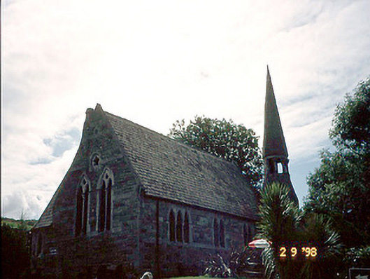 church/chapelchurch/chapel · 1.1 mi
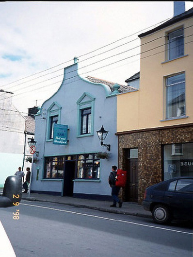 Corner Househouse · 1.1 mi
 Foughil IslandIslet · 1.2 mi
 Laharn Bog LoopWalking route · 1.2 mi
 Ballycarbery CastleRuins · 1.6 mi
 White Strand BeachBeach / strand · 1.9 mi
 Beginish IslandIsland · 2.8 mi