What is recorded here
On top of rock outcrop on W face of Killough Hill which has commanding views to N and W, in pasture. Part of the enclosure has been disturbed by a quarry located immediately to the E. The monument consists of a poorly preserved circular area (int. diam 37m N-S; 34m E-W; overall diam. c. 43m E-W) enclosed by a low bank (base Wth. 5m; top Wth. 1.7m; int. H 0.2m; ext. H 0.2m) which has been mainly reduced to a scarp. The bank is only visible from SE through S to W, elsewhere the enclosure is defined by a scarp. There is a quarry located in the S quadrant of the enclosure.
Compiled by: Jean Farrelly
Date of upload: 26 August 2011
A local fairy fort (ringfort/rath); wider significance not recorded.
The monument record does not grant public access. Check the route and ask the landowner before entering private land.
- What survives
- Recorded monument
Places near here
 Killough Hill (site of)Mountain / peak · 780 yd
 IndicatedFairy fort / earthen ringfort · 1150 yd
 Killough Castlecountry house · 1287 yd
 Enclosure in Killough (gaile Par.)Enclosure · 1557 yd
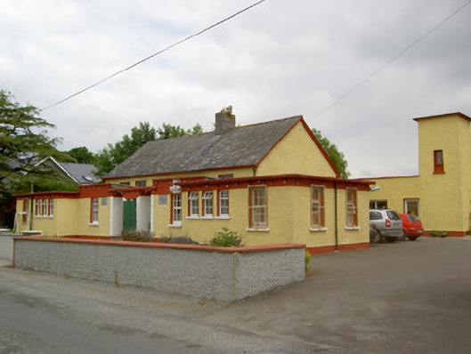 Gaile National Schoolschool · 1617 yd
 Ballytarsna Castle (in ruins)Castle, tower house · 1.2 mi
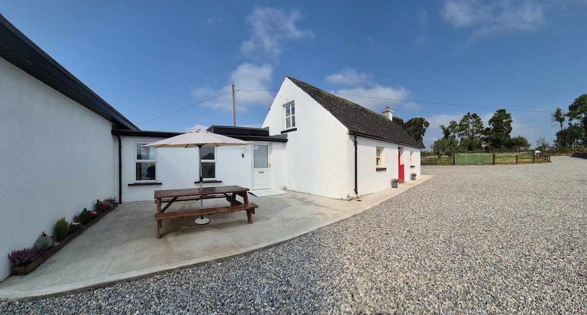 Bawn in Galbertstown LowerBawn · 1.5 mi
 Gift Horse GalleryGallery · 3.0 mi
 Horse and JockeyVisitor information · 3.7 mi
 Cormackstown Heritage CentreMuseum · 3.9 mi
 Wildlife CorridorWood · 4.1 mi
 Byrnes's WoodsForest · 4.4 mi