What is recorded here
This feature was listed in the RMP (1997) as a mound based on information received by the SMR from a local source. It is not shown on the 1838 OS 6-inch map. It is depicted on the 1922 edition as a roughly oblong enclosed area (c. 75-80m NE–SW; c. 35-40m NW–SE), planted with trees. Field inspection in 1997 determined that it consists of the remains of a landscape feature upon which field clearance stones have been heaped.
Compiled by: Jane O'Shaughnessy
Date of upload: 29 January 2015
The monument record does not grant public access. Check the route and ask the landowner before entering private land.
- What survives
- Recorded monument
Places near here
 IndicatedFairy fort / earthen ringfort · 291 yd
 Owenmorewalled garden · 429 yd
 Attishane FortFairy fort / earthen ringfort · 1009 yd
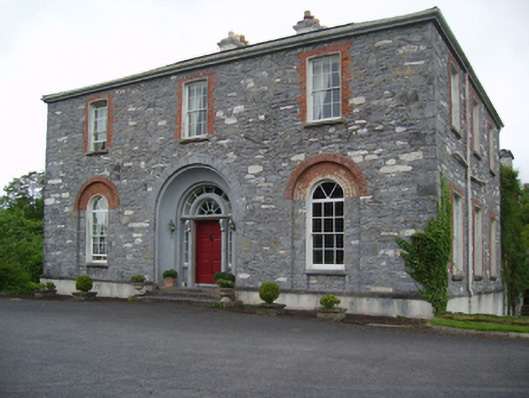 Glenmorecountry house · 1665 yd
 Carn Castle (in Ruins)Castle, unclassified · 1.8 mi
 Rathroe CastleCastle · 3.2 mi
 Grave of the KingsArchaeological place · 5.4 mi
 Lisheen Grave YardArchaeological place · 6.5 mi
 Castle IslandIslet · 6.8 mi
 Roe IslandIslet · 7.0 mi
 Céide FieldsArchaeological place · 11 mi
 BlowholeCliff · 11 mi