What is recorded here
At the junction of Lower Green St. and Abbey St. According to O’Keeffe (1995, 90) this building was ‘indicated as an ancient building on the 1840 map’. The 1840 reference refers to the OS Fair Plan map of Fethard where ancient buildings are highlighted using a blue ink line. This building appears to be outlined using blue ink, with a heavier line along the S wall. The eastern portion of this building was occupied by a two-storey house up until 1994 when it was demolished and replaced by a two-bay two-storey house recessed from the street front. The western portion is currently a green space.
Compiled by: Jean Farrelly
Date of upload: 11 May 2015
The monument record does not grant public access. Check the route and ask the landowner before entering private land.
- What survives
- Recorded monument
Places near here
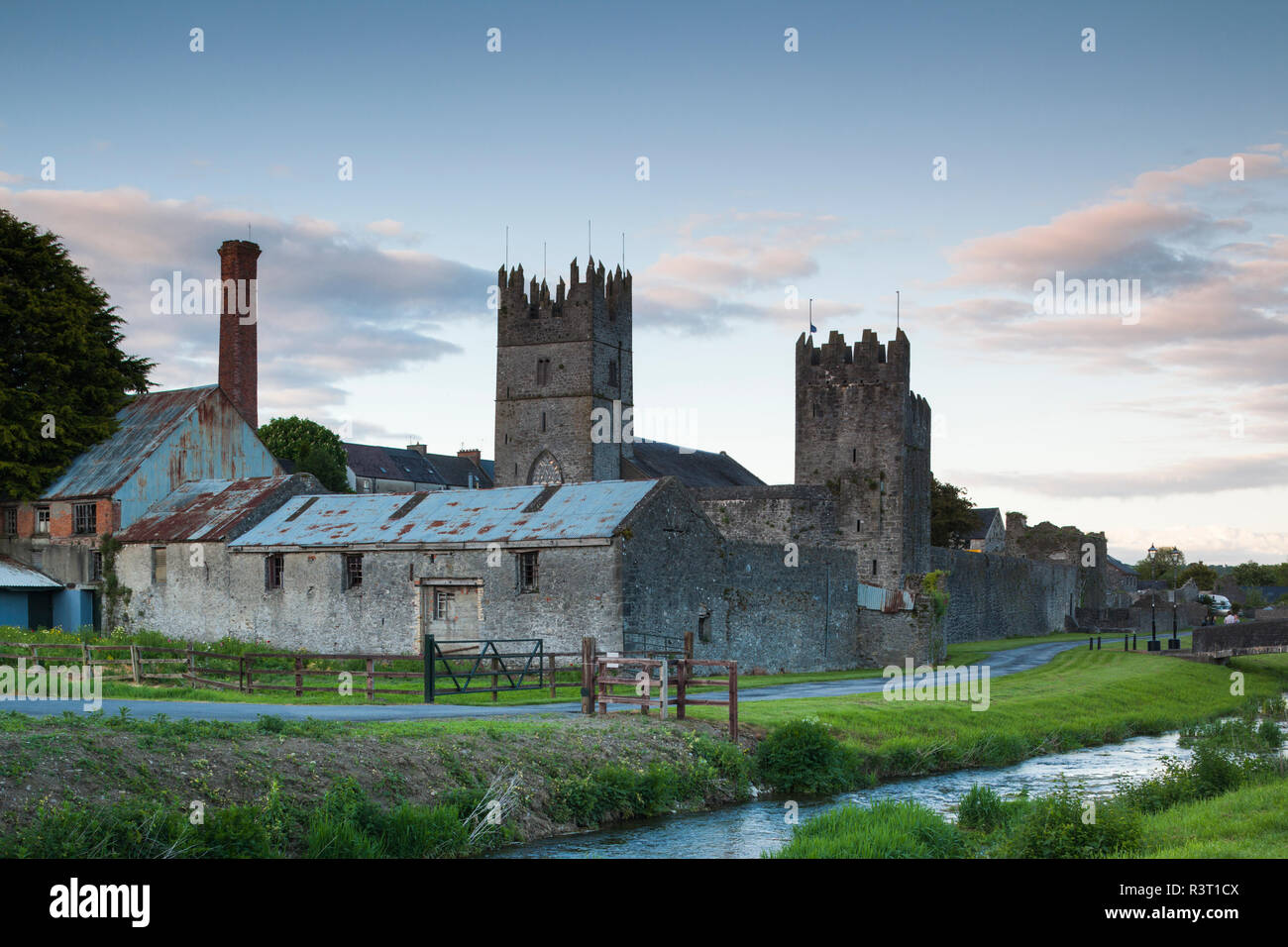 IndicatedHouse, 17th century · 20 yd
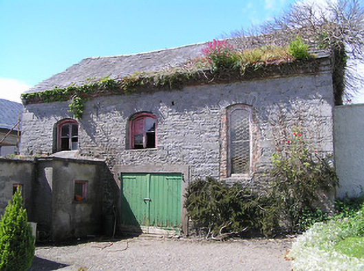 church/chapelchurch/chapel · 46 yd
 Sheela-na-gig in FethardSheela-na-gig · 60 yd
 East GateMemorial · 117 yd
 Structure in FethardStructure · 186 yd
 Court CastleCastle · 239 yd
 Edmond's CastleCastle · 265 yd
 European YewEuropean Yew · 330 yd
 Kilknockan HillMountain / peak · 1.1 mi
 Grove WoodForest · 1.1 mi
 CarrigdotiaMountain / peak · 4.2 mi
 Saint Augustine's Catholic Churchabbey · 48 yd