What is recorded here
Running S of Fethard from Watergate St. crossing the Clashawley River. This medieval bridge formed the southern access to the town, with a town gate immediately N of the bridge. It is a narrow flat bridge (L 29m; Wth 5.15m) of roughly coursed limestone rubble with a parapet (H 1.37m; Wth 0.38m) capped with concrete. It consists of four spans, two segmental headed arches at the northern end and two round-headed of differed sizes at the southern end. There are two triangular cut-waters on the W face.
Compiled by: Jean Farrelly
Date of upload: 9 March 2015
The monument record does not grant public access. Check the route and ask the landowner before entering private land.
- What survives
- Recorded monument
Places near here
 Flour MillWater mill, vertical-wheeled · 37 yd
 Edmond's CastleCastle · 69 yd
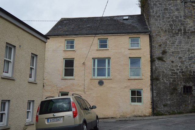 Watergate Househouse · 72 yd
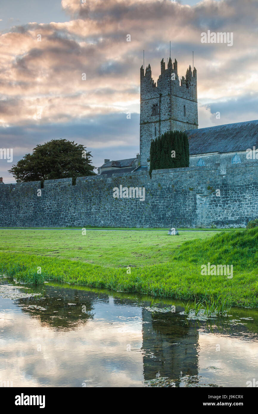 Almshouse in FethardAlmshouse · 74 yd
 Court CastleCastle · 83 yd
 Grave YardGraveyard · 121 yd
 European YewEuropean Yew · 128 yd
 East GateMemorial · 131 yd
 Grove WoodForest · 1.1 mi
 Kilknockan HillMountain / peak · 1.2 mi
 CarrigdotiaMountain / peak · 4.3 mi
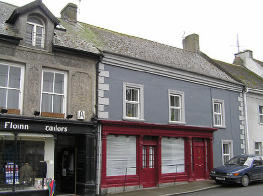 O'Sheahouse · 86 yd