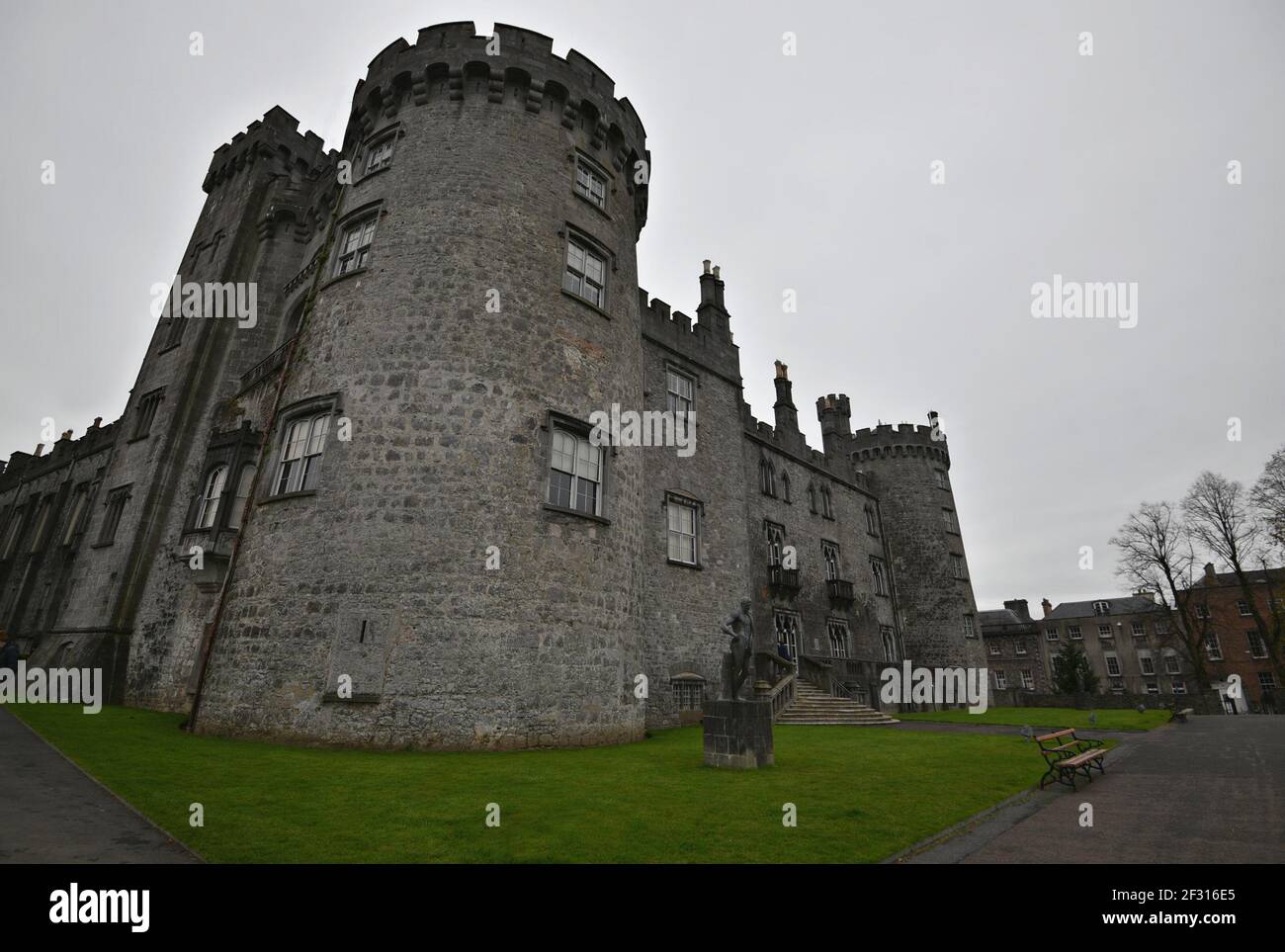
What is recorded here
In rolling terrain. Indicated on the 1902 OS 6-inch map as an oval wooded area. The field is reclaimed and there is no visible trace at ground level. A second oval wooded area is indicated in the same townland (KK015-087----). Either of these may be the rath noted by O’Kelly (1969, 82) as having been destroyed in 1961.
Compiled by: Mary Tunney
Date of upload: 23 January 2013
This remains an important historical record, but the official description says the monument is no longer visible or has been destroyed. The monument record does not grant public access. Check the route and ask the landowner before entering private land.
- What survives
- No visible remains or recorded as destroyed
Places near here
 Ballysallagh Housecountry house · 1170 yd
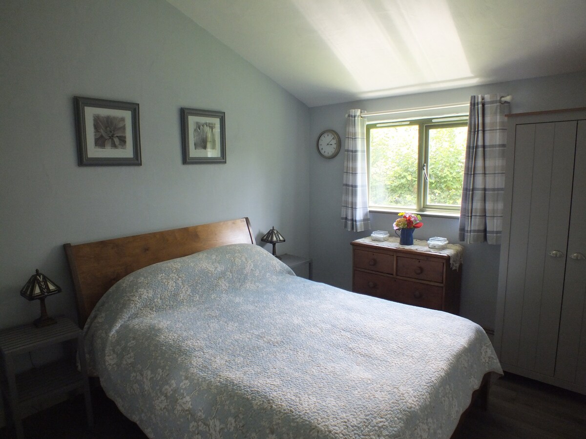 The Garden ShedRuins · 1311 yd
 St. Mogarra’s WellSpring · 1366 yd
 Clara CastleCastle, tower house · 1523 yd
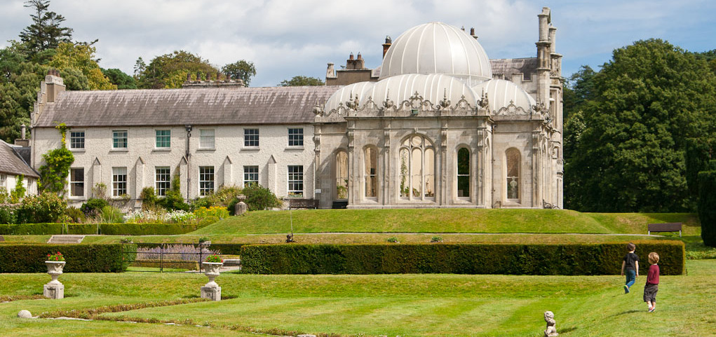 Enclosure in KilderryEnclosure · 1546 yd
 EnclosureEnclosure, large enclosure · 1.1 mi
 CastleCastle, motte · 1.5 mi
 HawthornHawthorn · 2.2 mi
 Gleann Dick ForestForest · 2.2 mi
 KilkennyVisitor information · 3.8 mi
 Kilkenny County Council Car ParkVisitor information · 4.0 mi
 Ivan PowerMemorial · 4.0 mi
Other information
Photo: Credit not shown in the picture search · Rights wording not checked; contact us if this picture should be removed