What is recorded here
In pasture, on S-facing slope. Depicted as hachured rectangular enclosure on 1842 OS 6-inch map; as trapezoidal enclosure (c. 60m ENE-WSW; c. 50m NNW-SSE) on 1905 and 1936 OS 6-inch maps, with small square enclosure (c. 15m by c. 15m) in SW corner. According to local information, 'lios' levelled c. late 1950s; apparently it had a fosse which held water. Partially levelled bank (int. H 0.35m; ext. H 1.6m) survives to S, (L 50m E-W); low rise evident on N side. Site bounded to E by field boundary and to S by grove of conifers.
The above description is derived from the published 'Archaeological Inventory of County Cork. Volume 4: North Cork' (Dublin: Stationery Office, 2000). In certain instances the entries have been revised and updated in the light of recent research.
Date of upload/revision: 14 January 2009
The monument record does not grant public access. Check the route and ask the landowner before entering private land.
- What survives
- Recorded monument
Places near here
 Bowen's Courtgates/railings/walls · 918 yd
 Ruane Castle (Site of)Castle, unclassified · 1390 yd
 Horse Field WoodForest · 1413 yd
 Cist in Shanballymore UpperCist · 1605 yd
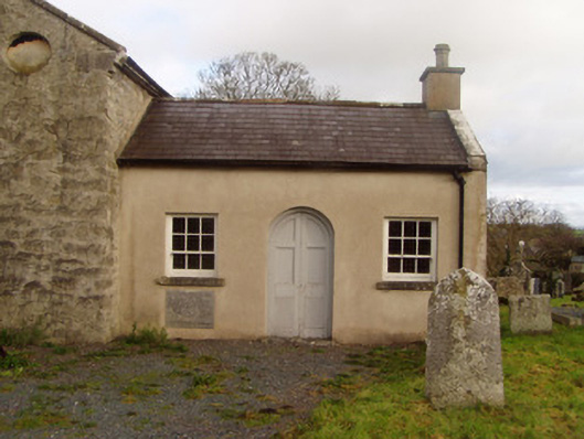 Saint Colman's Church of Ireland Churchschool · 1709 yd
 Grave YardGraveyard · 1757 yd
 North Meadow WoodForest · 1.0 mi
 Shanagh Castle (Site of)Castle, unclassified · 1.0 mi
 Anne's Grove GardensHeritage attraction · 2.7 mi
 Flat cemetery in Ballyenahan NorthFlat cemetery · 2.8 mi
 Coolfree MountainMountain / peak · 4.2 mi
 CarrigeenamronetyMountain / peak · 4.4 mi