
What is recorded here
Indicated is a coastal promontory fort in County Galway, Ireland, overlooking Clifden Bay. Its triangular enclosure measures thirty-five by thirty metres and still holds a thick inner bank, a steep fosse, and a thinner outer bank. No entrance remains visible through the inner bank, suggesting the site excluded rather than invited. People may have watched ships, stored goods, or resisted intrusion from that narrow ridge above the bay.
On a small promontory overlooking mouth of Clifden Bay to S. Level triangular area (35m by 30m max.) defined by a well-preserved inner bank (Wth 6.7m, H 3.2m max.), a steep-sided, flat-bottomed fosse (Wth 4-7m), and a poorly preserved outer bank (Wth 3.5m, H 0.8m). No trace exists of an entrance through the inner bank and a large gap in outer may be modern.
The above description is derived from the published 'Archaeological Inventory of County Galway Vol. I - West Galway'. Compiled by Paul Gosling (Dublin: Stationery Office, 1993).
Date of upload: 05 August 2010
The monument record does not grant public access. Check the route and ask the landowner before entering private land.
- What survives
- Recorded monument
Places near here
 Sky RoadViewpoint · 1112 yd
 Kill ChurchChurch · 1.3 mi
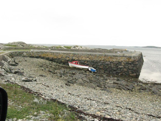 quay/wharfquay/wharf · 1.4 mi
 Bawn in Doon (ballynahinch By.)Bawn · 1.5 mi
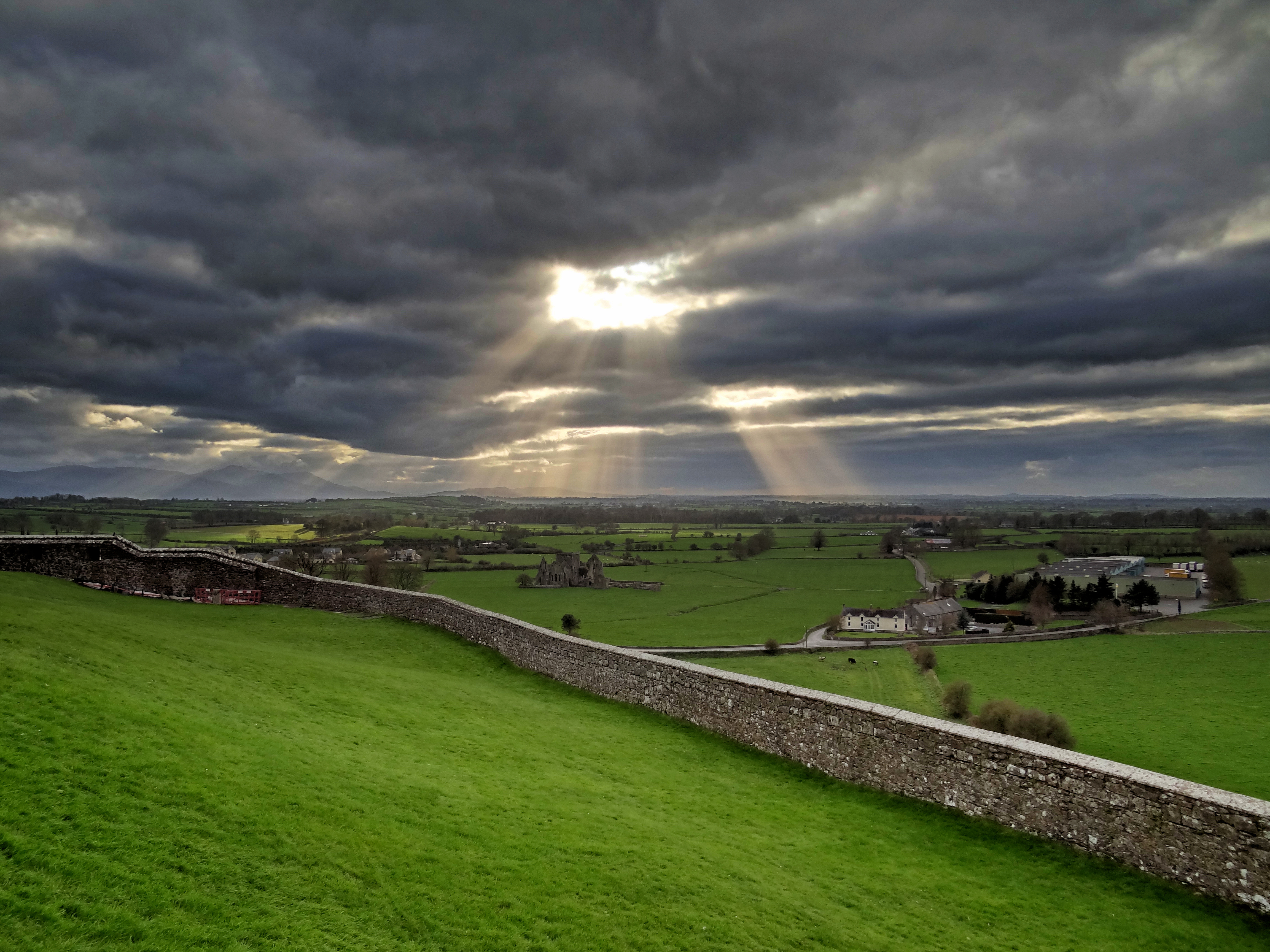 Mass-rock in CushatroughMass-rock · 1.6 mi
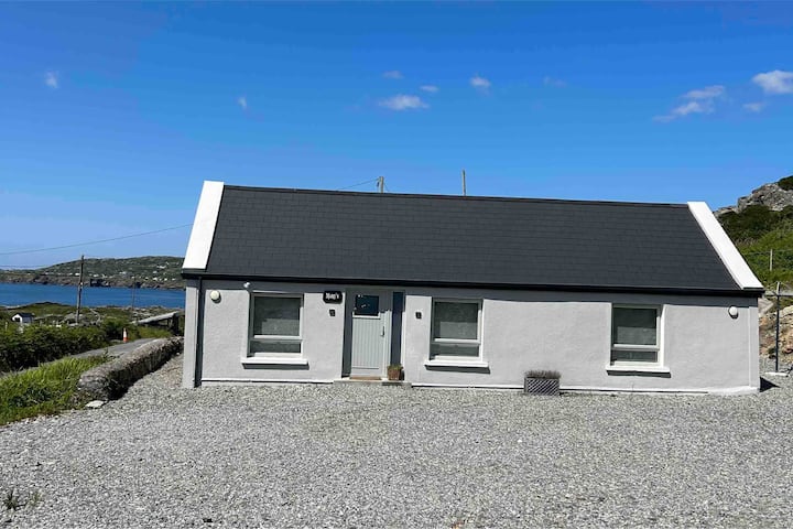 Turbot IslandIsland · 1.6 mi
 Hog IslandIslet · 1.7 mi
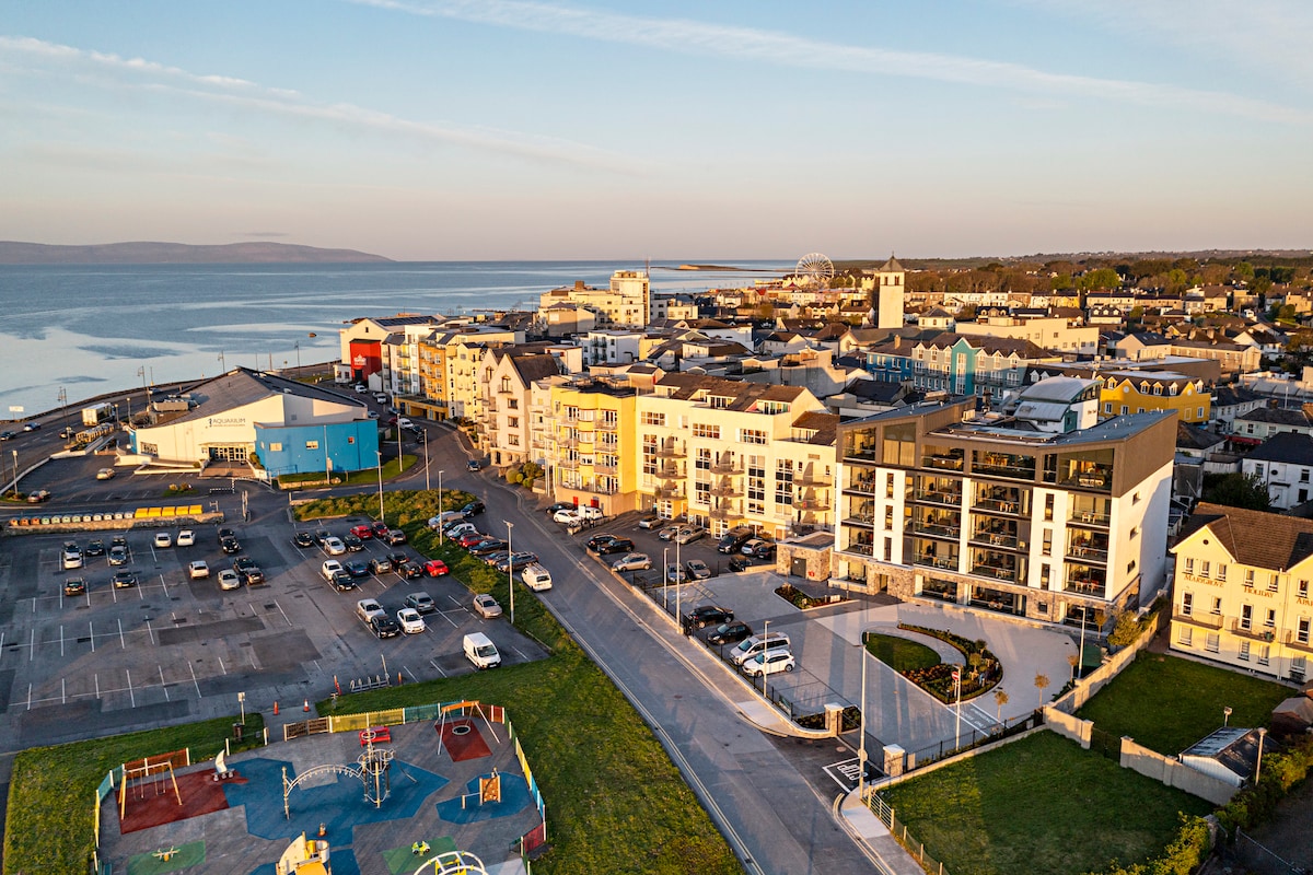 Acton BeachBeach / strand · 2.0 mi
 Ritual siteRitual site, holy/saint's stone · 2.2 mi
 The StrandBeach / strand · 3.1 mi
 Abbeyglen Castle HotelCastle · 3.4 mi
 Mannin BayBay · 3.4 mi
Other information
Photo: Credit not shown in the picture search · Rights wording not checked; contact us if this picture should be removed