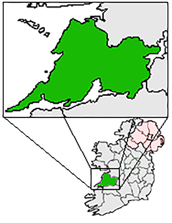
What is recorded here
Indicated is a well-preserved earthen ringfort in County Clare, marked on maps since 1842 and still standing beside a steep rocky ridge. Its broad bank circles a space large enough for a household, while wide views stretch from northeast to south. The land has changed around it, but the fort remains clear, a quiet marker of life lived at the foot of the ridge.
In improved pasture near the E foot of a steep, rocky ridge, with land sloping immediately to the S and wide views NE-S. Indicated on the first edition (1842) and hachured on the later, Cassini edition (1920) of the OS 6-inch map. Listed as ‘Enclosure’ in the RMP (1996). This well-preserved subcircular rath (int. diams. 25m N-S; 23m E-W) is defined by an earth and stone bank (Wth 3.5-5.8m; int. H 0.5-1.2m; ext. H 0.6-0.9m) with traces of possible outer facing stones along the W. An enclosure (CL010-210----) lies c. 145m to the SSW.
Compiled by: Gearóid Conroy and Conn Herriott
Date of upload: 9 February 2023
The monument record does not grant public access. Check the route and ask the landowner before entering private land.
- What survives
- Recorded monument
Places near here
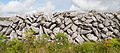 Enclosure in Fahee NorthEnclosure · 201 yd
 Castle (in ruins)Castle, tower house · 664 yd
 Holy WellHoly well · 764 yd
 Kilnaloone GraveyardArchaeological place · 768 yd
 Glencolumbkille CastleCastle · 842 yd
 St Columbkilles Church (in ruins)Church · 1200 yd
 Burren National ParkNature reserve · 1.6 mi
 Templecronan (in ruins)Church · 1.7 mi
 Father Ted's HouseHeritage attraction · 2.7 mi
 Slieve RoeMountain / peak · 2.7 mi
 Mullagh MoreMountain / peak · 3.0 mi
 PoulnabroneMemorial · 4.2 mi
Other information
Photo: Credit not shown in the picture search · Rights wording not checked; contact us if this picture should be removed