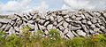
What is recorded here
On the uneven SE slope of a semi-karst hill in rough pasture, offering limited views from E to S. This enclosure (int. dims. c. 32m N-S; 28m E-W) is defined by an earth and stone bank (av. Wth 2.4m; int. H 1-2m; ext. H 1.3m) which is heavily overgrown but was still accessible at E-S during an inspection in 1999. A later shed is built against the bank at the WNW. There is a probable modern gap (Wth 5m) at the NW, where the external ground level is higher. Along the E exterior the bank forms a scarp. There is a straight later wall outside the enclosure on the E side. The interior is generally level, with blackthorn growing at N-E.
Compiled by: Mary Tunney and Conn Herriott
Date of upload: 20 June 2023
The monument record does not grant public access. Check the route and ask the landowner before entering private land.
- What survives
- Recorded monument
Places near here
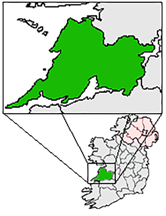 IndicatedFairy fort / earthen ringfort · 201 yd
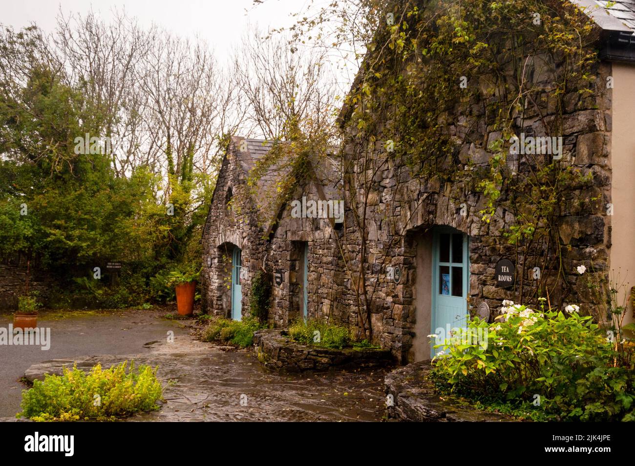 Enclosure in Fahee NorthEnclosure · 370 yd
 Castle (in ruins)Castle, tower house · 524 yd
 Kilnaloone GraveyardArchaeological place · 959 yd
 Glencolumbkille CastleCastle · 964 yd
 St Columbkilles Church (in ruins)Church · 1087 yd
 Burren National ParkNature reserve · 1.6 mi
 Templecronan (in ruins)Church · 1.6 mi
 Father Ted's HouseHeritage attraction · 2.6 mi
 Slieve RoeMountain / peak · 2.7 mi
 Mullagh MoreMountain / peak · 3.0 mi
 PoulnabroneMemorial · 4.1 mi
Other information
Photo: Credit not shown in the picture search · Rights wording not checked; contact us if this picture should be removed