What is recorded here
In pasture, on S-facing slope, overlooking River Lee. Depicted only on 1938 OS 6-inch map; shown as arc (C c. 30m) SSE->NNW formed by broken line. No visible surface trace.
The above description is derived from the published 'Archaeological Inventory of County Cork. Volume 3: Mid Cork' (Dublin: Stationery Office, 1997). In certain instances the entries have been revised and updated in the light of recent research.
Date of upload/revision: 14 January 2009
The monument record does not grant public access. Check the route and ask the landowner before entering private land.
- What survives
- Recorded monument
Places near here
 Flooded buildingsRuins · 387 yd
 Bob AdamsMemorial · 471 yd
 Castle Inch (in Ruins)Castle, tower house · 891 yd
 Marys Well, Sundays WellHoly well · 1135 yd
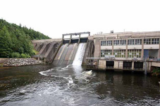 Inniscarra Hydro Electric Power Stationdam/reservoir/basin · 1542 yd
 Abbey (Site of)Ecclesiastical site · 1548 yd
 Iniscarra Dam ViewViewpoint · 1.1 mi
 Ballyanly Inniscarra Slí na SláinteWalking route · 1.4 mi
 Hugh MaguireMemorial · 2.2 mi
 Coachford Greenway (End)Visitor information · 2.8 mi
 Farran WoodWood · 3.2 mi
 Kilcrea Castle (in Ruins)Castle, tower house · 3.3 mi