What is recorded here
Indicated is a standing stone on a low hill crest in the Emlagh river valley, County Kerry, Ireland. It stands north of the mountain gap where the river flows towards Castlemaine Harbour. A field wall now crosses its base, hiding the lower north face. The stone remains visible above the wall, marking the valley crest where the river escapes the mountains.
Site of standing stone described by Cuppage (1986, 49, no. 102) as follows; 'This stone [KE045-102----] stands on the crest of a low hill located centrally in the Emlagh river valley, immediately N of the gap in the coastal mountain ridge through which the river flows towards Castlemaine Harbour. It is now incorporated into an E-W field wall which obscures the lower portion of its N face. On the 2nd edition of the OS map a standing stone is also shown untitled c. 50m to WNW; it does not survive'.
The monument record does not grant public access. Check the route and ask the landowner before entering private land.
- What survives
- Recorded monument
Places near here
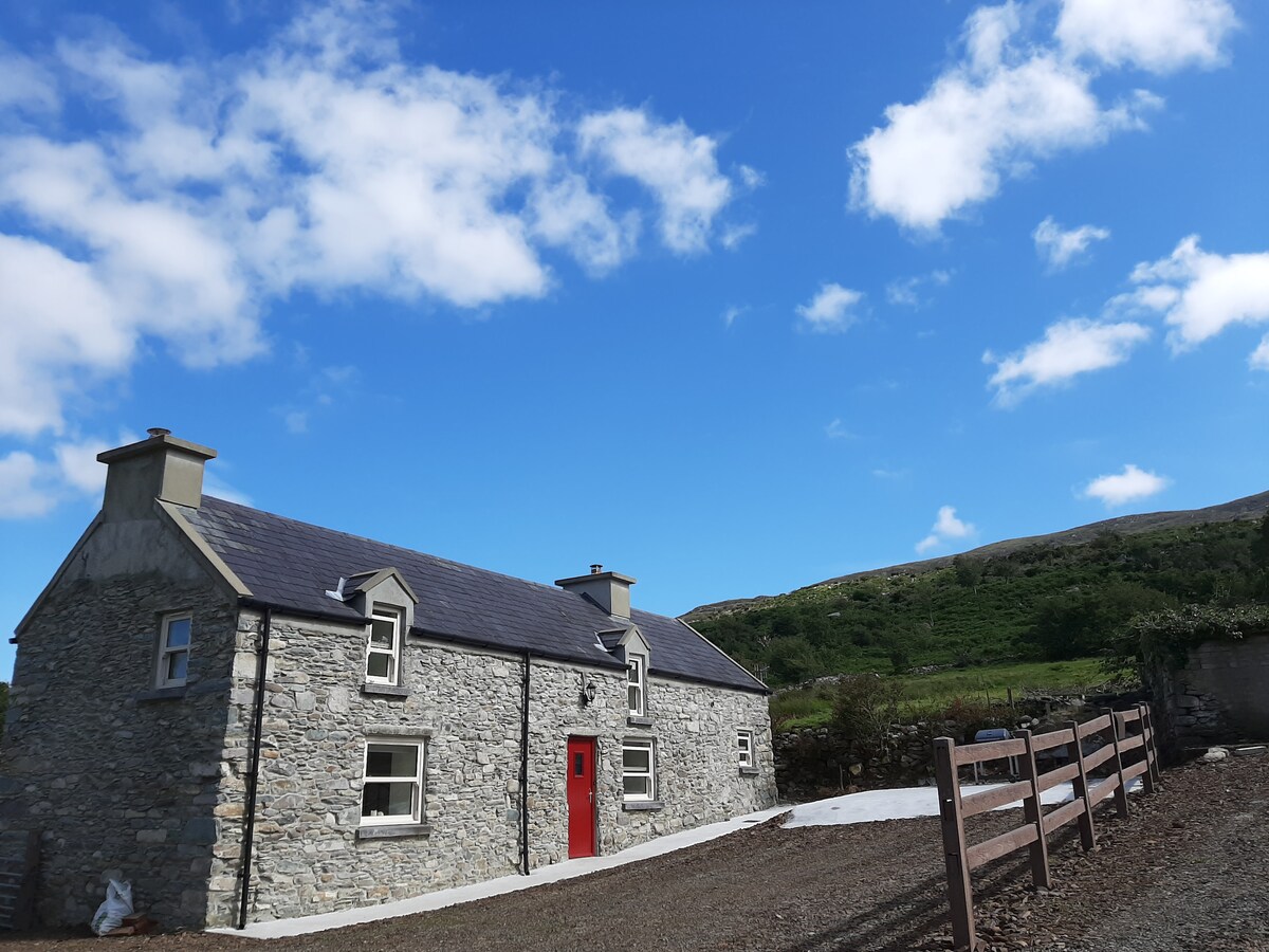 Hut site in Ballynahunt,kilduff (corkaguiny By.)Hut site · 1037 yd
 BrickanyMountain / peak · 1738 yd
 Church in Inch East (corkaguiny By.)Church · 1.0 mi
 EmlaghMountain / peak · 1.2 mi
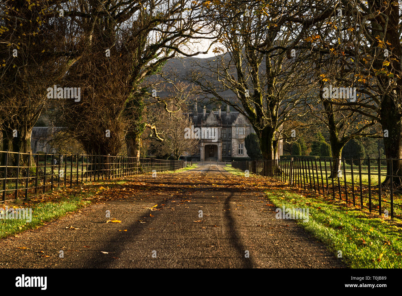 Man-made underground passage in An LuachairMan-made underground passage · 1.2 mi
 Inch BeachVisitor information · 1.3 mi
 KilnKiln, corn-drying · 3.0 mi
 Statue of Our LadyHeritage attraction · 3.4 mi
 Jerome ConnorMemorial · 3.4 mi
 Bunaneer StrandBeach / strand · 3.5 mi
 Cromane PointHeadland · 3.7 mi
 Glanteenassig Forest ParkForest · 4.0 mi