
What is recorded here
Situated on the spine of the NE-facing slope of an ENE-WSW drumlin ridge. It is depicted as an oval wooded feature (dims c. 45m NNE-SSW; c. 25m WNW-ESE) described as a fort on the 1834 edition of the OS 6-inch map and as an oval field on the 1907 edition. It was described in 1968 as an oval overgrown area (dims c. 40m N-S; 26m E-W) defined by an earthen bank (at E: Wth of base 3.7m; int. H 0.8m; ext. H 1.5m) with traces of an outer stone facing, and an outer fosse (at E: Wth 3m; ext. D 0.15m). There was an entrance (Wth of base 0.9m) at NE. It had been removed by 1995 (OSAP).
The above description is derived from the published 'Archaeological Inventory of County Monaghan' (Dublin: Stationery Office, 1986). In certain instances the entries have been revised and updated in the light of recent research.
Revised by: Michael Moore
Date of revision: 8 May 2018
The monument record does not grant public access. Check the route and ask the landowner before entering private land.
- What survives
- Recorded monument
Places near here
 IndicatedEnclosure · 461 yd
 Enclosure in EllinureEnclosure · 543 yd
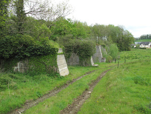 viaductviaduct · 940 yd
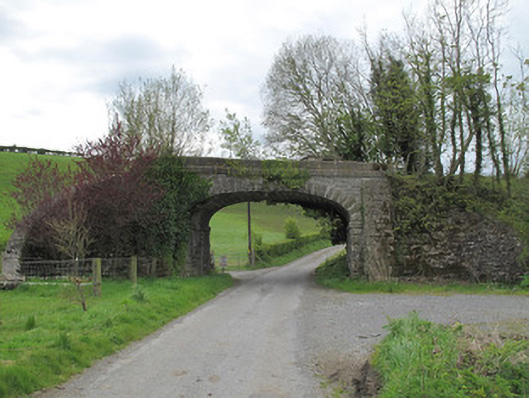 bridgebridge · 947 yd
 Common LimeCommon Lime · 1735 yd
 Saint John's WellSpring · 1.1 mi
 KillycoonaghWood · 1.2 mi
 Abbey RuinsHeritage attraction · 2.3 mi
 The Cassandra Hand CentreMuseum · 2.4 mi
 Roosky Castle (Site of)Castle, ringwork · 2.9 mi
 Jaundice WellSpring · 3.3 mi
 Lisarrilly HillMountain / peak · 3.3 mi
Other information
Photo: Credit not shown in the picture search · Rights wording not checked; contact us if this picture should be removed