What is recorded here
In tillage, on break in S-facing slope. Indicated as subrectangular enclosure (c. 30m E-W; c. 25m N-S) on 1842, 1906 and 1934 OS 6-inch maps; trees in interior. Levelled; arc formed by scarp survives SE->SSW; slight internal lip above fall of ground (D 1.3m) down to stream forms E side; spread of dark soil (14674) at W edge of site.
The above description is derived from the published 'Archaeological Inventory of County Cork. Volume 4: North Cork' (Dublin: Stationery Office, 2000). In certain instances the entries have been revised and updated in the light of recent research.
Date of upload/revision: 14 January 2009
The monument record does not grant public access. Check the route and ask the landowner before entering private land.
- What survives
- Recorded monument
Places near here
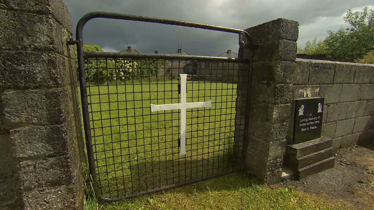 Grave YardGraveyard · 491 yd
 IndicatedKiln, lime · 551 yd
 Dunmahon Castle (in Ruins)Bawn · 710 yd
 Castle (in Ruins)Castle, tower house · 1019 yd
 Air HillCountry house · 1436 yd
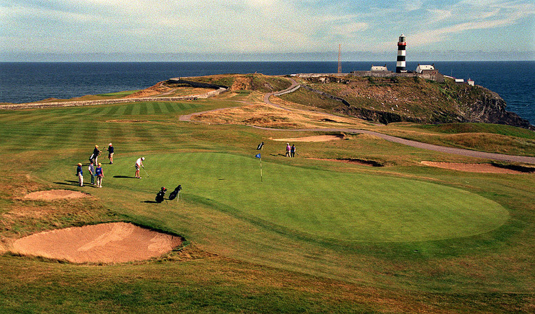 Fulacht fia in KilleenemerFulacht fia · 1697 yd
 St Dominick's WellSpring · 1.2 mi
 Graveyard in BoherashGraveyard · 1.3 mi
 Flat cemetery in Ballyenahan NorthFlat cemetery · 4.0 mi
 Blackwater (Avondhu) WayWalking route · 5.2 mi
 Johnson's WoodForest · 5.4 mi
 Anne's Grove GardensHeritage attraction · 5.6 mi