What is recorded here
Located on the summit of a broad drumlin. This feature is indicated as a small area with bushes on the 1835 edition of the OS 6-inch map. It is a grass and scrub-covered flat-topped earthen mound (diam. of base 10m; diam. of top 2.8-3m; H 1.5m at S to 2m W-N) with slight traces of a fosse best preserved at N (Wth of base 2m; ext. D 0.3m). There is no evidence of an outer bank but a NNW-SSE field bank at E has been removed (max. ext. diam. 17m N-S; 16.8m E-W).
The above description is derived from 'The Archaeological Inventory of County Leitrim' compiled by Michael J. Moore (Dublin: Stationery Office, 2003). In certain instances the entries have been revised and updated in the light of recent research.
Compiled by: Michael Moore
Date of upload: 23 September 2008
Amended; 6 December, 2019
A Neolithic passage tomb; significant as a rare example of a drumlin-top burial monument, reflecting early ritual landscape use.
This remains an important historical record, but the official description says the monument is no longer visible or has been destroyed. The monument record does not grant public access. Check the route and ask the landowner before entering private land.
- What survives
- No visible remains or recorded as destroyed
Places near here
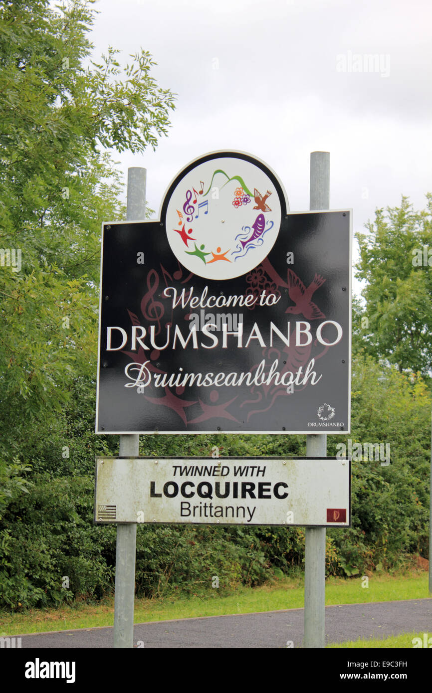 Not idicatedEnclosure · 219 yd
 IndicatedFairy fort / earthen ringfort · 1.1 mi
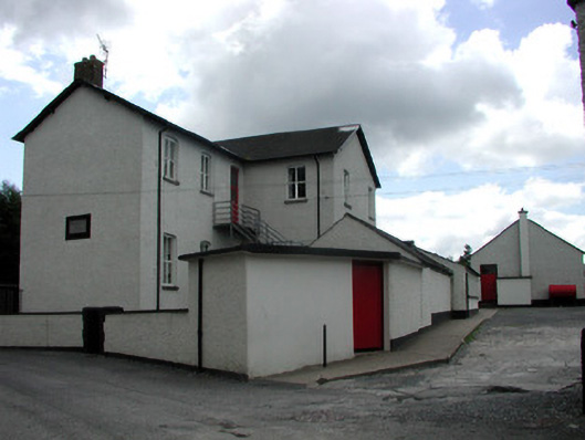 Saint Joseph's National Schoolschool · 3.0 mi
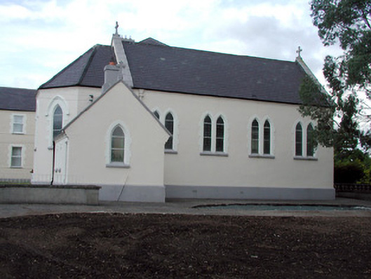 Saint Anne's Convent of Mercychurch/chapel · 3.0 mi
 Turlough O'Carolan MonumentHeritage attraction · 3.2 mi
 Tom Dunphy MemorialMemorial · 3.2 mi
 Declaration of IndependenceMemorial · 3.5 mi
 Wildlife AreaNature reserve · 3.7 mi
 Little IslandIslet · 5.0 mi
 TuliptreeTuliptree · 5.0 mi
 Leabaidh DermotCave · 5.0 mi
 Duck IslandIslet · 5.0 mi