What is recorded here
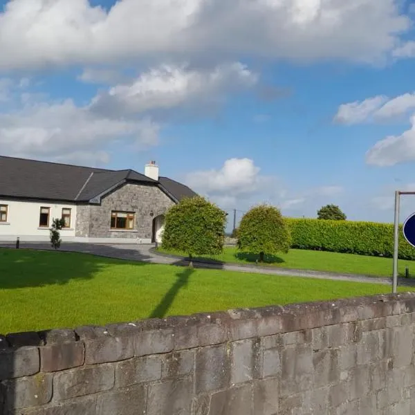
On a low ridge in pasture. Depicted as a circular enclosure with the designation 'Fort' on the 1837 ed. of the OS 6-inch map. A raised subcircular area (c. 53m ENE-WSW; c. 45m NNW-SSE) enclosed by a low bank of earth and stone (Wth 2.4m; H 0.2-0.4m), which has been modified and incorporated into a field boundary. A report in 1976 (SMR file) recorded an intervening fosse and fragmentary traces of an outer bank, both of which have since been levelled. The monument is divided into roughly equal portions by a NNW-SSE laneway. The original entrance is not recognisable.
Compiled by: Patrick F. O'Donovan
Date of upload: 11 January 2011
A local fairy fort (ringfort/rath); wider significance not recorded.
The monument record does not grant public access. Check the route and ask the landowner before entering private land.
- What survives
- Recorded monument
Places near here
 Church (in Ruins)Religious house, Augustinian canons · 1744 yd
 RoadRoad, unclassified togher · 1.8 mi
 PlatformPlatform, peatland · 1.8 mi
 Leveret IslandIslet · 1.8 mi
 StructureStructure, peatland · 1.9 mi
 CastleBawn · 1.9 mi
 InchbofinIslet · 2.4 mi
 Culnagore WoodForest · 2.8 mi
 Pollagh BayBay · 2.9 mi
 Caltragh CastleCastle, unclassified · 2.9 mi
 Elfeet BayBay · 3.2 mi
 Corlea Trackway Interpretative CentreHeritage attraction · 3.6 mi
Other information
Photo: Credit not shown in the picture search · Rights wording not checked; contact us if this picture should be removed