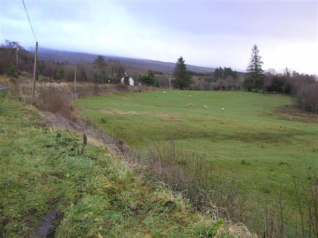
What is recorded here
Not marked on OS 1836 or 1876 ed. Raised circular area (int. diam. 31.7m) enclosed by the base of a stone rampart. The upper courses of the wall have been removed and the stone apparently utilised as building material for field boundaries in the vicinity. Original entrance not recognisable.
The above description is derived from the published 'Archaeological Inventory of County Cavan' (Dublin: Stationery Office, 1995). In certain instances the entries have been revised and updated in the light of recent research.
Date of upload/revision: 22 December 2008
The monument record does not grant public access. Check the route and ask the landowner before entering private land.
- What survives
- Recorded monument
Places near here
 Sweathouse in CorratawySweathouse · 451 yd
 Enclosure in LegnagrowEnclosure · 592 yd
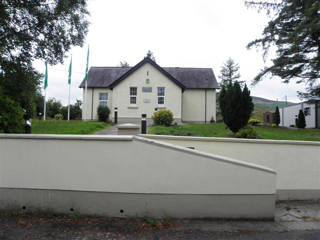 CurraghvahMountain / peak · 1.2 mi
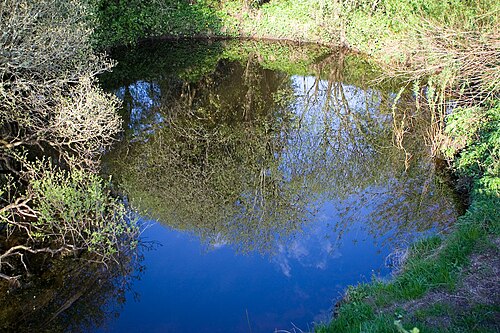 Shannon PotSpring · 1.4 mi
 Legnashinna CavernCave · 1.4 mi
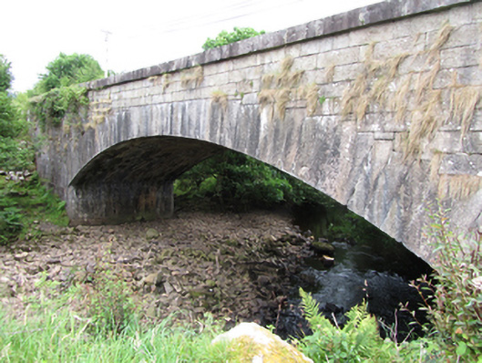 bridgebridge · 1.8 mi
 Corratober UpperMountain / peak · 1.8 mi
 CavernCave · 2.2 mi
 Crofton's HillForest · 2.5 mi
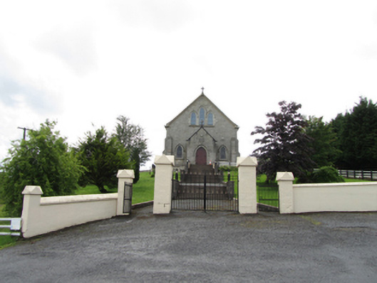 Church of the Immaculate Conceptionchurch/chapel · 2.7 mi
 PlaygroudCliff · 2.7 mi
 CarrignahastaCliff · 3.0 mi
Other information
Photo: Credit not shown in the picture search · Rights wording not checked; contact us if this picture should be removed