What is recorded here
Indicated is a small almost oval crannog in Drumeague Lough Lower, County Cavan, sitting about twenty-five metres from the shoreline. It measures roughly thirty metres north-west to south-east and twenty metres north-east to south-west. The island is so modest that it did not appear on the 1836 or 1876 Ordnance Survey maps, yet it still belongs to the lived landscape of Cavan’s lakelands.
Not marked on OS 1836 or 1876 eds. Small almost oval-shaped island (dims. c. 30m NW-SE; c. 20m NE-SW) in Drumeague Lough Lower, c. 25m from the shoreline.
The above description is derived from the published 'Archaeological Inventory of County Cavan' (Dublin: Stationery Office, 1995). In certain instances the entries have been revised and updated in the light of recent research.
Date of upload/revision: 22 December 2008
The monument record does not grant public access. Check the route and ask the landowner before entering private land.
- What survives
- Recorded monument
Places near here
 DrumeagueMountain / peak · 448 yd
 White Lough WoodWood · 651 yd
 St Brigid's Roman Catholic Churchchurch/chapel · 1194 yd
 Cappog Bog WoodlandWood · 1341 yd
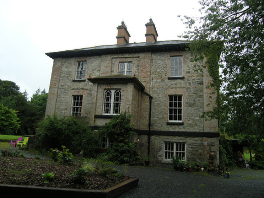 rectory/glebe/vicarage/curate's houserectory/glebe/vicarage/curate's house · 1415 yd
 CorravillaMountain / peak · 1694 yd
 Enclosure in KillalissEnclosure · 1.0 mi
 Grave YardGraveyard · 1.2 mi
 Bawn in Skeagh (clankee By.)Bawn · 1.4 mi
 Small IslandIsland · 2.1 mi
 Welcome to Bailieborough DemesneVisitor information · 2.6 mi
 Green IslandIsland · 2.8 mi