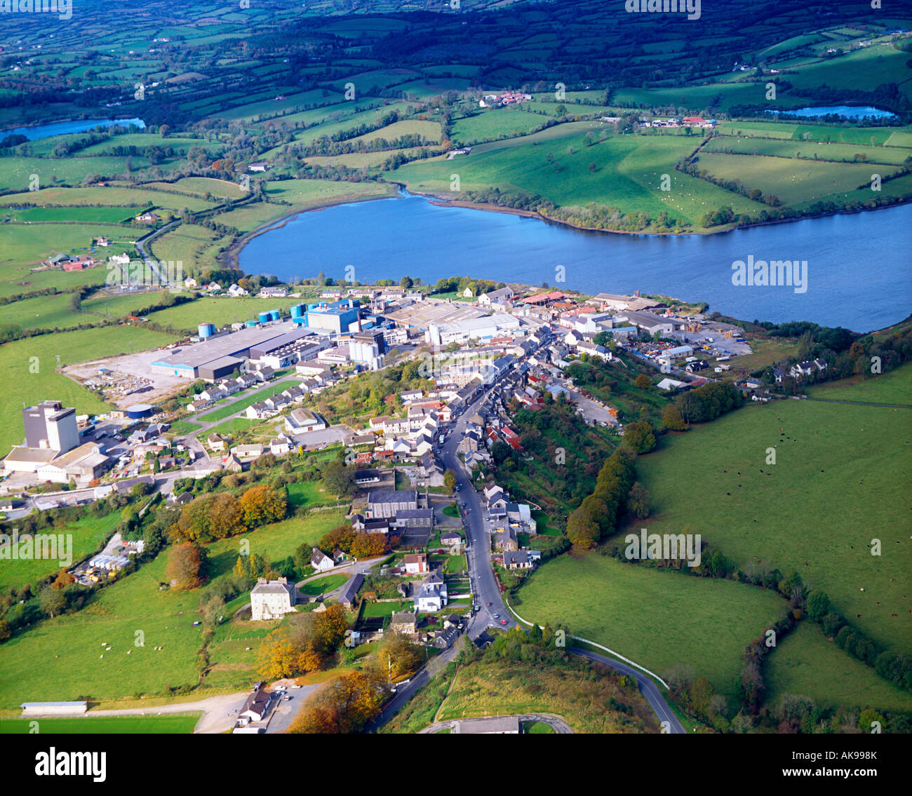
What is recorded here
Indicated is a fairy fort in County Cavan, Ireland, where a low earthen bank still surrounds a raised circular area thirty-three metres across. People may have lived there, feared the fairies, or simply marked the edge of human ownership before withdrawing. The modern trench cutting the ancient line suggests measurement replacing mystery, yet the ring remains intact enough to invite imagination.
Raised circular area (int. diam. 33.7m) enclosed by a low earthen bank and an apparently modern narrow, shallow trench. An earlier description (OPW 1968) suggested that the original entrance may have been at ENE. (ITA Survey 1942)
The above description is derived from the published 'Archaeological Inventory of County Cavan' (Dublin: Stationery Office, 1995). In certain instances the entries have been revised and updated in the light of recent research.
Date of upload/revision: 22 December 2008
The monument record does not grant public access. Check the route and ask the landowner before entering private land.
- What survives
- Recorded monument
Places near here
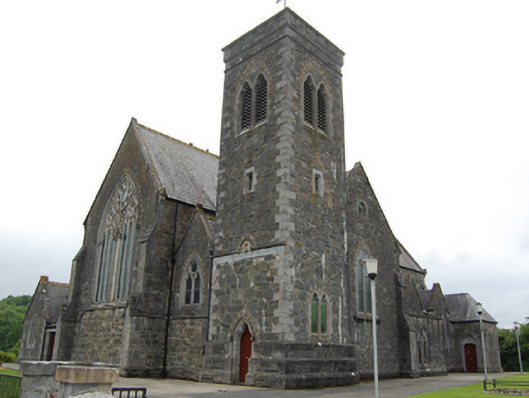 Saint Brigid's Catholic Churchchurch/chapel · 1010 yd
 Drumgoon Bog WoodForest · 1070 yd
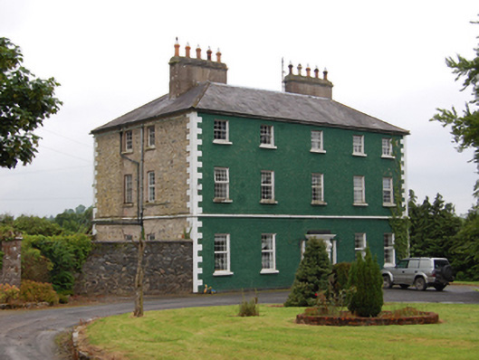 The Rectoryrectory/glebe/vicarage/curate's house · 1604 yd
 Pedunculate OakPedunculate Oak · 1.0 mi
 Creenagh GlebeMountain / peak · 1.1 mi
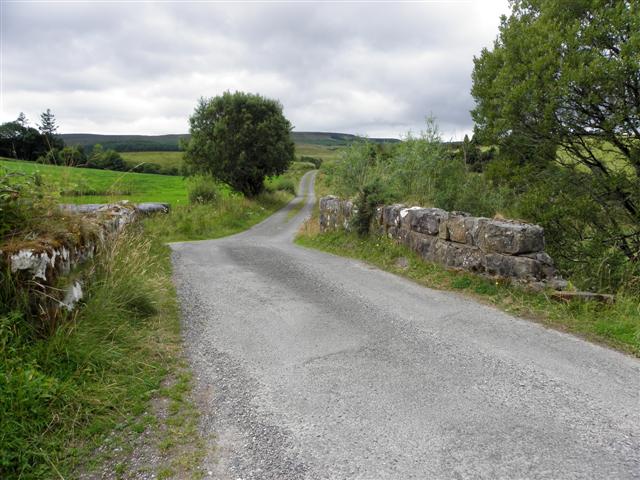 Derries UpperMountain / peak · 1.2 mi
 Killeshandra Irish Countrywomen's Association 70th AnniversaryMemorial · 1.2 mi
 Old FortEnclosure, large enclosure · 1.3 mi
 Court tomb in GartnanoulCourt tomb · 1.3 mi
 Inch IslandIslet · 1.4 mi
 Woodenhouse BayBay · 1.7 mi
 Killykeen Forest ParkForest · 1.7 mi
Other information
Photo: Credit not shown in the picture search · Rights wording not checked; contact us if this picture should be removed