What is recorded here
Situated on top of Ryan Hill. A large D-shaped area (c. 140m E-W; c. 100m N-S) with a straight N side, defined by an earthen bank (Wth 4.8m; int. H 0.3m; ext. H 0.6m) at NE and an earthen bank (Wth 5.2m; int. H 0.3m; ext. H 1.5m) and outer fosse (Wth of base 3.5m; D 0.5m) at SW with traces of a scarp NE-SW. A NE-SW field wall bisects the enclosure and S of this is an inner scarp (H 0.5m) (diam. c. 70m NE-SW) that does not continue N of the field wall. Within that again is a rectangular area (32m NNE-SSW; 18m WNW-ESE) defined by a scarp (max. H 0.7m at E) and a slight bank (Wth 2.5m; int. H 0.1m; ext. H 0.4m) at S which is also cut by and extant only S of the field wall. A possible church (CL033-034002-) lay in the N portion of the rectangular area. Drumcliff church (CL033-033----) lies c. 700m to the SW.
Compiled by: Mary Tunney
Date of upload: 24 May 2016
Drumcliff is a likely early-medieval fairy fort (ringfort/rath) situated on Ryan Hill, characterised by a large D-shaped enclosure with earthen banks. It is associated with local folklore connected to the nearby Clonmacnoise monastic site and is traditionally linked to the legend of Cú Chulainn’s burial.
The monument record does not grant public access. Check the route and ask the landowner before entering private land.
- What survives
- Recorded monument
Places near here
 Temple VaraghanChurch · 22 yd
 Cloigtheach (Round Tower)Round tower · 790 yd
 Church (in ruins)Church · 800 yd
 Enclosure in DrumcliffEnclosure · 1072 yd
 Ardcarney WoodWood · 1.3 mi
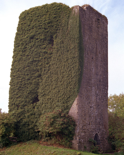 Ballygriffy CastleCastle · 1.7 mi
 CastleCastle, ringwork · 1.8 mi
 Ennis AbbeyMuseum · 1.8 mi
 Post Office FieldNature reserve · 1.8 mi
 Clare MuseumMuseum · 1.9 mi
 Poul na gollorCave · 3.4 mi
 Alice and Gwendoline CaveMuseum · 3.8 mi